Sunol in Alameda County, California — The American West (Pacific Coastal)
Alameda Creek Water System
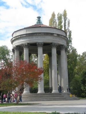
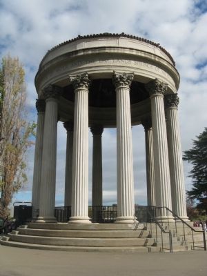
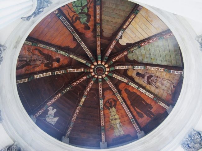
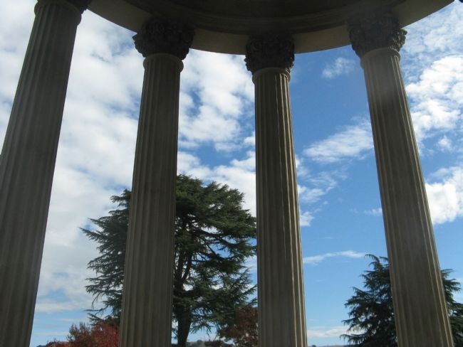
Sunol Water Temple Restoration
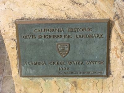
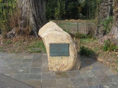
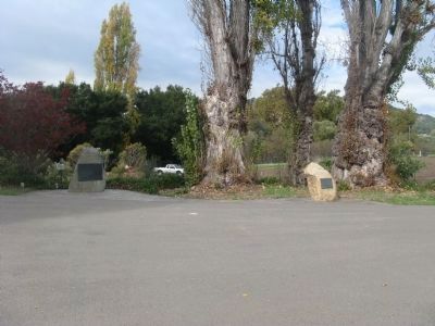
Main marker:
California Historic Civil Engineering Landmark.
Alameda Creek Water System, 1888.
San Francisco Section A802, 1975.
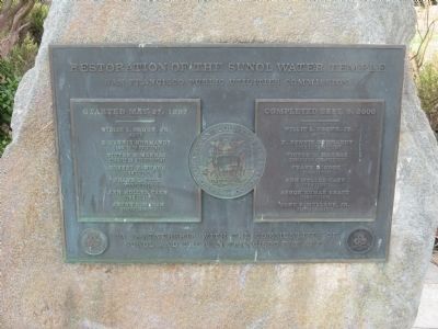
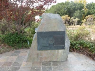
Second marker:
Restoration of the Sunol Water Temple.
Started May 27, 1997.
Completed Sept. 9, 2000.
In partnership with the communities of Sunol and the San Francisco Bay Area.
Erected 1975 by American Society of Civic Engineering – Founded 1852.
Topics and series. This historical marker is listed in these topic lists: Charity & Public Work • Waterways & Vessels. In addition, it is included in the ASCE Civil Engineering Landmarks series list. A significant historical date for this entry is May 27, 1757.
Location. 37° 35.127′ N, 121° 53.126′ W. Marker is in Sunol, California, in Alameda County. Marker can be reached from Paloma Way. Entrance to the Water Temple is at the intersection of Niles Canyon Road, Pleasanton-Sunol Road and Paloma Road. Touch for map. Marker is at or near this postal address: 505 Paloma Way, Sunol CA 94586, United States of America. Touch for directions.
Other nearby markers. At least 8 other markers are within 4 miles of this marker, measured as the crow flies. Sunol (approx. 0.6 miles away); Niles Canyon Railway (approx. 0.6 miles away); Once a Hilltop Castle (approx. 2.9 miles away); De Anza Expedition 1775 - 1776 (approx. 4 miles away); World War II War Memorial (approx. 4 miles away); Mission San José (approx. 4 miles away); Founding of Mission San Jose (approx. 4.1 miles away); Vallejo Homesite (approx. 4.1 miles away). Touch for a list and map of all markers in Sunol.
Also see . . .
1. San Francisco Public Utilities Commission. The Sunol Water Temple
"The 1910 beaux arts landmark, built by the SFPUC’s predecessor the Spring Valley Water Company, was designed by renowned architect Willis Polk and modeled after the Temple of Vesta in Tivoli, Italy. The converging waters of Alameda Creek, Arroyo de la Laguna, and the Pleasanton Wells poured down into a tile basin at the temple bottom. Though the waters were once used for San Francisco’s water supply before construction of the Hetch Hetchy system, today only a small amount is diverted for local SFPUC uses and storage. The rest is released into Alameda Creek." (Submitted on November 14, 2009, by Syd Whittle of Mesa, Arizona.)
2. The Sunol Water Temple. A Wikipedia Article on the history of the Water Temple. (Submitted on November 14, 2009, by Syd Whittle of Mesa, Arizona.)
Credits. This page was last revised on February 13, 2022. It was originally submitted on November 14, 2009, by Syd Whittle of Mesa, Arizona. This page has been viewed 2,062 times since then and 20 times this year. Photos: 1, 2, 3, 4, 5, 6, 7, 8, 9. submitted on November 14, 2009, by Syd Whittle of Mesa, Arizona.
