Westfield in Hampden County, Massachusetts — The American Northeast (New England)
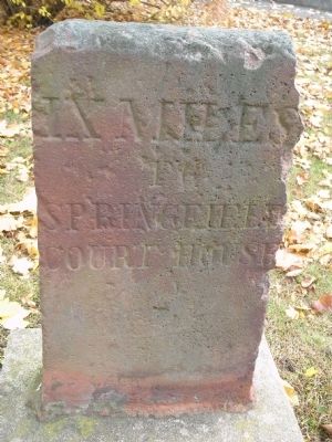
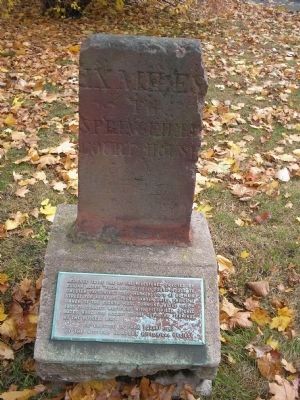
IX Miles to Springfield Courthouse
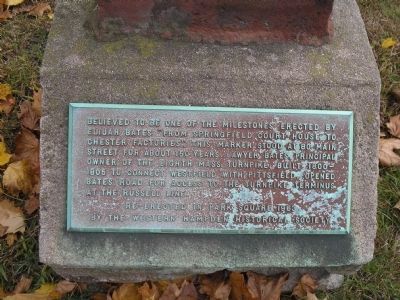
Re-erected in Park Square 1963
by the Western Hampden Historical Society
Erected 1963 by Western Hampden Historical Society.
Topics. This historical marker is listed in this topic list: Roads & Vehicles. A significant historical year for this entry is 1963.
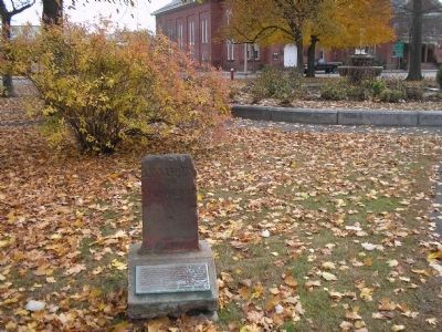
Location. 42° 7.228′ N, 72° 44.942′ W. Marker is in Westfield, Massachusetts, in Hampden County. Marker is at the intersection of Elm Street (U.S. 202) and Court Street, on the left when traveling south on Elm Street. Touch for map. Marker is in this post office area: Westfield MA 01085, United States of America. Touch for directions.
Other nearby markers. At least 8 other markers are within 6 miles of this marker, measured as the crow flies. Westfield Civil War Monument (within shouting distance of this marker); Gen. Henry Knox Trail (within shouting distance of this marker); Lieut. Richard Falley (about 400 feet away, measured in a direct line); Apremont Park (approx. 3.2 miles away); 104th Infantry Regiment (approx. 3.2 miles away); The 104th U.S. Infantry (approx. 3.2 miles away); Southwick Veterans Monument (approx. 4.7 miles away); Veterans Monument (approx. 5.4 miles away). Touch for a list and map of all markers in Westfield.
Credits. This page was last revised on June 16, 2016. It was originally submitted on November 14, 2009, by Bill Coughlin of Woodland Park, New Jersey. This page has been viewed 1,216 times since then and 9 times this year. Photos: 1, 2, 3, 4. submitted on November 14, 2009, by Bill Coughlin of Woodland Park, New Jersey.


