Occoquan in Prince William County, Virginia — The American South (Mid-Atlantic)
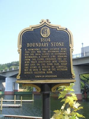
1804 Boundary Stone
Erected by Town of Occoquan.
Topics and series. This historical marker is listed in these topic lists: Colonial Era • Landmarks • Political Subdivisions • Settlements & Settlers. In addition, it is included in the Virginia, Historic Occoquan series list. A significant historical year for this entry is 1804.
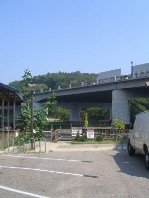
Location. 38° 41′ N, 77° 15.533′ W. Marker is in Occoquan, Virginia, in Prince William County. Marker can be reached from Poplar Lane. Marker is located at the end of a narrow parking lot. Touch for map. Marker is in this post office area: Occoquan VA 22125, United States of America. Touch for directions.
Other nearby markers. At least 8 other markers are within walking distance of this marker. 1804 Occoquan Town Plat (within shouting distance of this marker); Occoquan Wharves (within shouting distance of this marker); Town of Occoquan (within shouting distance of this marker); Lest We Forget (about 300 feet away, measured in a direct line); Ogle Harris’ Store (about 400 feet away); Ebenezer Baptist Church (about 400 feet away); 201 Union Street (about 500 feet away); 301 Mill Street (about 500 feet away). Touch for a list and map of all markers in Occoquan.
Also see . . . Historic Occoquan Self Guided Walking Tour. (Submitted on September 21, 2019.)
Credits. This page was last revised on September 25, 2019. It was originally submitted on September 11, 2007, by Kevin W. of Stafford, Virginia. This page has been viewed 1,668 times since then and 32 times this year. Photos: 1, 2. submitted on September 11, 2007, by Kevin W. of Stafford, Virginia. • J. J. Prats was the editor who published this page.

