Near Rock Hill in York County, South Carolina — The American South (South Atlantic)
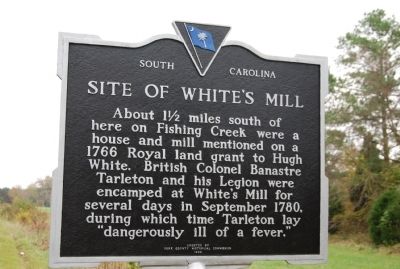
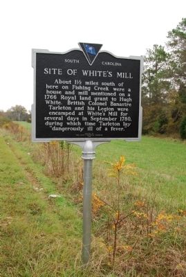
Site of White's Mill
Erected 1983 by York County Historical Commission. (Marker Number 46-22.)
Topics and series. This historical marker is listed in these topic lists: Colonial Era • Industry & Commerce • War, US Revolutionary. In addition, it is included in the South Carolina, York County Historical Commission series list. A significant historical month for this entry is September 1780.
Location. 34° 51.54′ N, 81° 4.344′ W. Marker is near Rock Hill, South Carolina, in York County. Marker is on Strait Road, 0.3 miles south of Saluda Road, on the right when traveling south. Touch for map. Marker is at or near this postal address: 3351 Strait Rd, Rock Hill SC 29730, United States of America. Touch for directions.
Other nearby markers. At least 10 other markers are within 6 miles of this marker, measured as the crow flies. Fishing Creek Revolutionary / Confederate War Memorial (approx. 4.1 miles away); Fishing Creek Confederate Monument (approx. 4.1 miles away); Reverend John Simpson (approx. 4.1 miles away); Fishing Creek Church (approx. 4.1 miles away); Colonel Robert Patton (approx. 4.1 miles away); Clinton Junior College (approx. 4.1 miles away); Emmett Scott School (approx. 4˝ miles away); St. Anne's Parochial School (approx. 4.9 miles away); Old Town Fact (approx. 5.2 miles away); Black Plantation / Hampton Campaign (approx. 5.2 miles away). Touch for a list and map of all markers in Rock Hill.
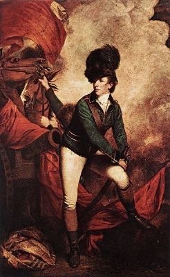
Also see . . . Banastre Tarleton. General Sir Banastre Tarleton, 1st Baronet, GCB (21 August 1754 – 16 January 1833) was a British soldier and politician. (Submitted on January 29, 2010, by Brian Scott of Anderson, South Carolina.)
Credits. This page was last revised on June 22, 2021. It was originally submitted on November 27, 2009, by Michael Sean Nix of Spartanburg, South Carolina. This page has been viewed 1,825 times since then and 89 times this year. Photos: 1, 2. submitted on November 27, 2009, by Michael Sean Nix of Spartanburg, South Carolina. 3. submitted on November 8, 2008, by Brian Scott of Anderson, South Carolina. • Bill Pfingsten was the editor who published this page.


