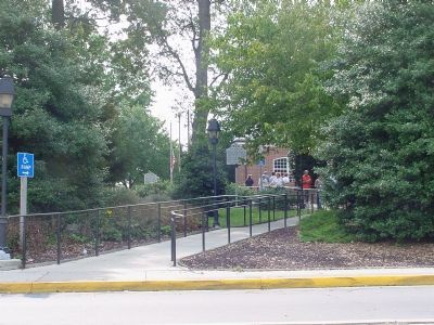
Near Aberdeen in Harford County, Maryland — The American Northeast (Mid-Atlantic)
State of Maryland
1776–1964
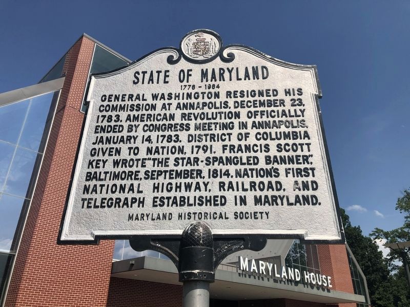
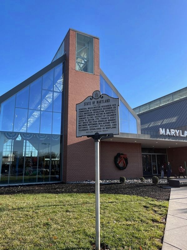
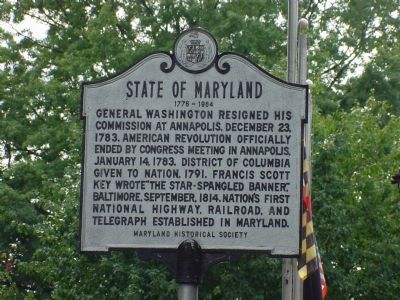
General Washington resigned his commission at Annapolis, December 23, 1783. American Revolution officially ended by Congress meeting in Annapolis, January 14, 1783. District of Columbia given to Nation, 1791. Francis Scott Key wrote "The Star-Spangled Banner," Baltimore, September, 1814. Nation's first national highway, railroad, and telegraph established in Maryland.
Erected by Maryland Historical Society.
Topics and series. This historical marker is listed in these topic lists: Arts, Letters, Music • Political Subdivisions • War, US Revolutionary. In addition, it is included in the Former U.S. Presidents: #01 George Washington series list. A significant historical date for this entry is January 14, 1744.
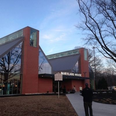
Location. 39° 29.849′ N, 76° 13.963′ W. Marker is near Aberdeen, Maryland, in Harford County. Marker can be reached from John F. Kennedy Memorial Highway (Interstate 95) north of Maryland Route 543, in the median. At the Maryland House highway rest stop in the median. Touch for map. Marker is in this post office area: Aberdeen MD 21001, United States of America. Touch for directions.
Other nearby markers. At least 5 other markers are within 3 miles of this marker, measured as the crow flies. Colony of Maryland (within shouting distance of this marker); "O! say can you see…" (about 400 feet away, measured in a direct line); Sophia’s Dairy (approx. 1.8 miles away); Spesutia Church (approx. 2.3 miles away); "The Bush Declaration" (approx. 2˝ miles away). Touch for a list and map of all markers in Aberdeen.
Also see . . .
1. Maryland State Archives. Website homepage (Submitted on January 14, 2006.)
2. The Star-Spangled Banner - A Flag and A Song. National Park Service website entry (Submitted on December 28, 2022, by Larry Gertner of New York, New York.)
3. The National Road. History Magazine website entry (Submitted on January 14, 2006.)
4. Telegraph History. Website homepage (Submitted on January 14, 2006.)
Credits. This page was last revised on February 7, 2023. It was originally submitted on November 9, 2005, by J. J. Prats of Powell, Ohio. This page has been viewed 2,314 times since then and 29 times this year. Photos: 1. submitted on July 29, 2020, by Devry Becker Jones of Washington, District of Columbia. 2. submitted on December 17, 2022, by Adam Margolis of Mission Viejo, California. 3. submitted on November 12, 2005. 4. submitted on March 29, 2015, by Kevin W. of Stafford, Virginia. 5. submitted on November 12, 2005.
