Lewellen in Garden County, Nebraska — The American Midwest (Upper Plains)
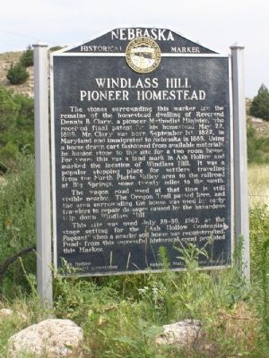
Windlass Hill Pioneer Homestead
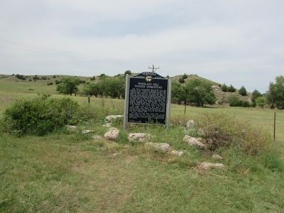
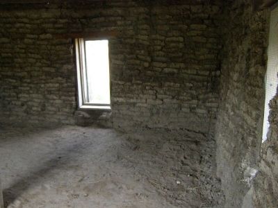
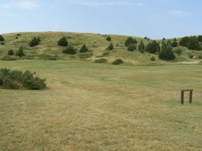
The stones surrounding this marker are the remains of the homestead dwelling of Reverend Dennis B. Clary, a pioneer Methodist Minister, who received final patent for his homestead Mar 22, 1899. Mr. Clary was born September 1st 1822, in Maryland and immigrated to Nebraska in 1885. Using a horse drawn cart fashioned from available materials he hauled stone to this site for a two room home. For years this was a land mark in Ash Hollow and marked the location of Windlass Hill. It was a popular stopping place for settlers traveling from the North Platte Valley area to the railroad at Big Springs, some twenty miles to the south.
The wagon road used at that time is still visible nearby. The Oregon Trail passed here and the area surrounding the house was used by early travelers to repair damage caused by the hazardous trip down Windlass Hill.
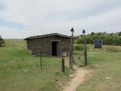
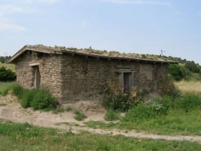
This site was used July 29-30, 1967, as the state setting for the “Ash Hollow Centennial Pageant” when a nearby sod house was reconstructed. Funds from the successful historical event provided this Marker.
Erected 1967 by Ash Hollow Centennial Assocation and Nebraska Historical Society. (Marker Number 130.)
Topics and series. This historical marker is listed in these topic lists: Landmarks • Settlements & Settlers. In addition, it is included in the Nebraska State Historical Society, and the Oregon Trail series lists. A significant historical month for this entry is July 1882.
Location. 41° 17.028′ N, 102° 7.167′ W. Marker is in Lewellen, Nebraska, in Garden County. Marker is on U.S. 26. The marker is located in the lower parking area for the Ash Hollow State Historic Parks, Windlass Hill area. Touch for map. Marker is in this post office area: Lewellen NE 69147, United States of America. Touch for directions.
Other nearby markers. At least 8 other markers are within 2 miles of this marker, measured as the crow flies. School District 55 (approx. ¼ mile away); Trading Post (approx. 0.3 miles away); Ash Hollow (approx. 1.1 miles away); Oregon Trail (approx. 1.2 miles away); Ash Hollow Geology (approx. 1.2 miles away); Wagon Ruts (approx. 1½ miles away); Rough Going (approx. 1½ miles away); Wagons in the West (approx. 1½ miles away). Touch for a list and map of all markers in Lewellen.
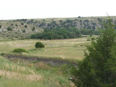
Photographed By Christopher Light, July 17, 2007
6. Windlass Hill
The Oregon and California Trails, used this hillside as a transition from the upper flat lands to the valley of the North Platte River. This is the head of Ash Hollow. There are no historical records of a windlass being used at this location, but the name has been in use since the early 20th Century. It probably originated some 50-80 years after the historic trail use ended.
Credits. This page was last revised on November 30, 2021. It was originally submitted on September 14, 2007, by Christopher Light of Valparaiso, Indiana. This page has been viewed 8,830 times since then and 42 times this year. Photos: 1. submitted on September 14, 2007, by Christopher Light of Valparaiso, Indiana. 2, 3. submitted on August 3, 2015, by Bill Coughlin of Woodland Park, New Jersey. 4, 5, 6, 7. submitted on September 14, 2007, by Christopher Light of Valparaiso, Indiana. • J. J. Prats was the editor who published this page.
