Menlo Park in San Mateo County, California — The American West (Pacific Coastal)
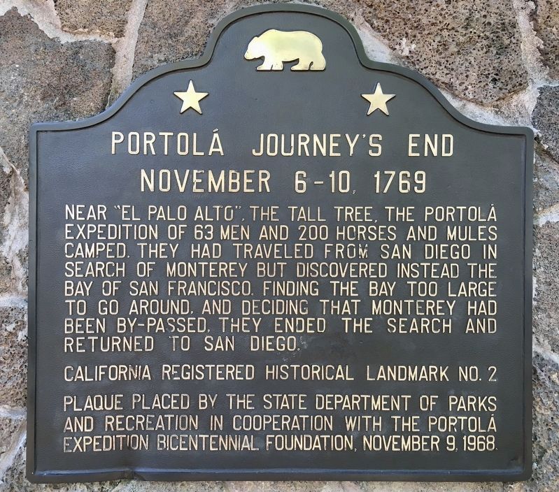
Portola Journey's End
November 6-10, 1769
Erected 1968 by State Department of Parks and Recreation, and Portola Expedition Bicentennial Foundation. (Marker Number 2.)
Topics and series. This historical marker is listed in this topic list: Exploration. In addition, it is included in the California Historical Landmarks, and the Portolá Expedition series lists.
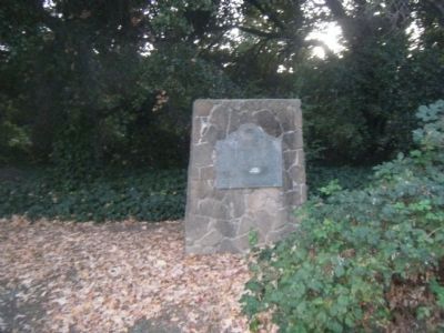
Location. 37° 26.872′ N, 122° 10.257′ W. Marker is in Menlo Park, California, in San Mateo County. Marker is at the intersection of Alma Street and East Creek Drive on Alma Street. Touch for map. Marker is in this post office area: Menlo Park CA 94025, United States of America. Touch for directions.
Other nearby markers. At least 8 other markers are within walking distance of this marker. Early People of the Creek (within shouting distance of this marker); El Palo Alto (about 300 feet away, measured in a direct line); San Francisquito Creek Watershed (about 300 feet away); a different marker also named San Francisquito Creek Watershed (about 400 feet away); History of Tower Well (approx. ¼ mile away); Hostess House (approx. half a mile away); Menlo Park Railroad Station (approx. 0.8 miles away); Electronics Research Laboratory (approx. 0.8 miles away). Touch for a list and map of all markers in Menlo Park.
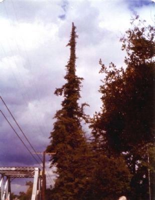
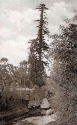
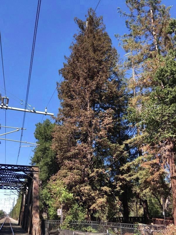
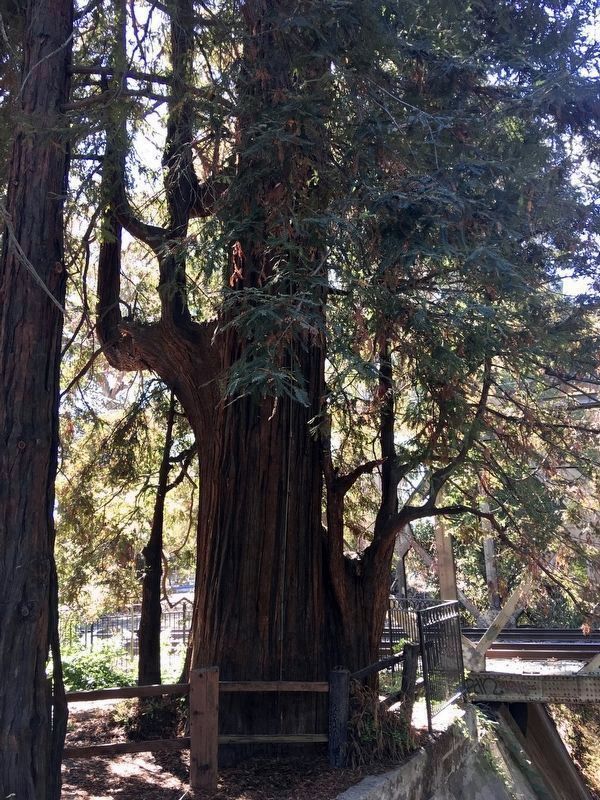
More about this marker. The tree is 300 feet from the marker, in El Palo Alto Park.
Regarding Portola Journey's End. This site was designated California Historical Landmark No.2 on June 1, 1932. This was the second site honored by the State Office of Historic Preservation.
Also see . . . More information on "El Palo Alto". A Wikipedia article reporting everything you'd ever want to know about this tree. (Submitted on July 27, 2010, by Anthony Applewhite of Atherton, California.)
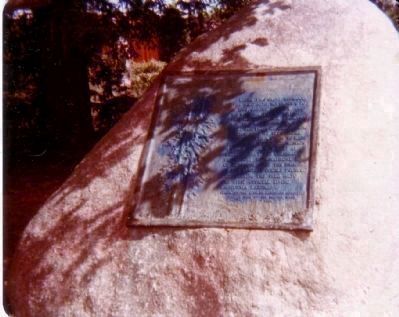
May 7, 1977
4. A Second Marker At This Site
Under this giant redwood, the Palo Alto, November 6–11, 1769, camped Portola and his band on the expedition that discovered San Francisco Bay. This was the assembling point for their reconnoitering parties. Here in 1774 Padre Palou erected a cross to mark the site of a proposed mission (which later was built at Santa Clara). The celebrated Pedro Font topographical map of 1776 contained the drawing of the original double trunked tree making the Palo Alto the first official living California landmark.
Credits. This page was last revised on September 20, 2021. It was originally submitted on December 1, 2009, by I.G.V.Atajar of San Jose, California. This page has been viewed 2,594 times since then and 104 times this year. Photos: 1. submitted on September 20, 2021, by Craig Baker of Sylmar, California. 2, 3. submitted on December 1, 2009, by I.G.V.Atajar of San Jose, California. 4, 5, 6. submitted on December 3, 2009. 7, 8. submitted on September 20, 2021, by Craig Baker of Sylmar, California. • Syd Whittle was the editor who published this page.
