Thrall in Williamson County, Texas — The American South (West South Central)
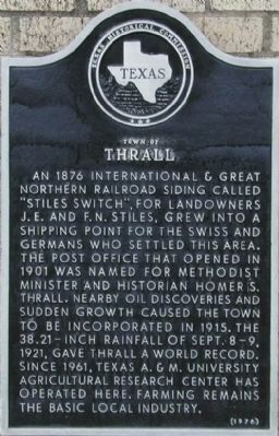
Town of Thrall
An 1876 International & Great Northern Railroad siding called “Stiles Switch”, for landowners J.E. and F.N. Stiles, grew into a shipping point for the Swiss and Germans who settled this area. The post office that opened in 1901 was named for Methodist minister and historian Homer S. Thrall. Nearby oil discoveries and sudden growth caused the town to be incorporated in 1915. The 38.21-inch rainfall of Sept. 8-9, 1921, gave Thrall a world record. Since 1961, Texas A&M University Agricultural Research Center has operated here. Farming remains the basic local industry.
Erected 1976 by Texas Historical Commission. (Marker Number 9364.)
Topics. This historical marker is listed in these topic lists: Notable Places • Settlements & Settlers. A significant historical year for this entry is 1876.
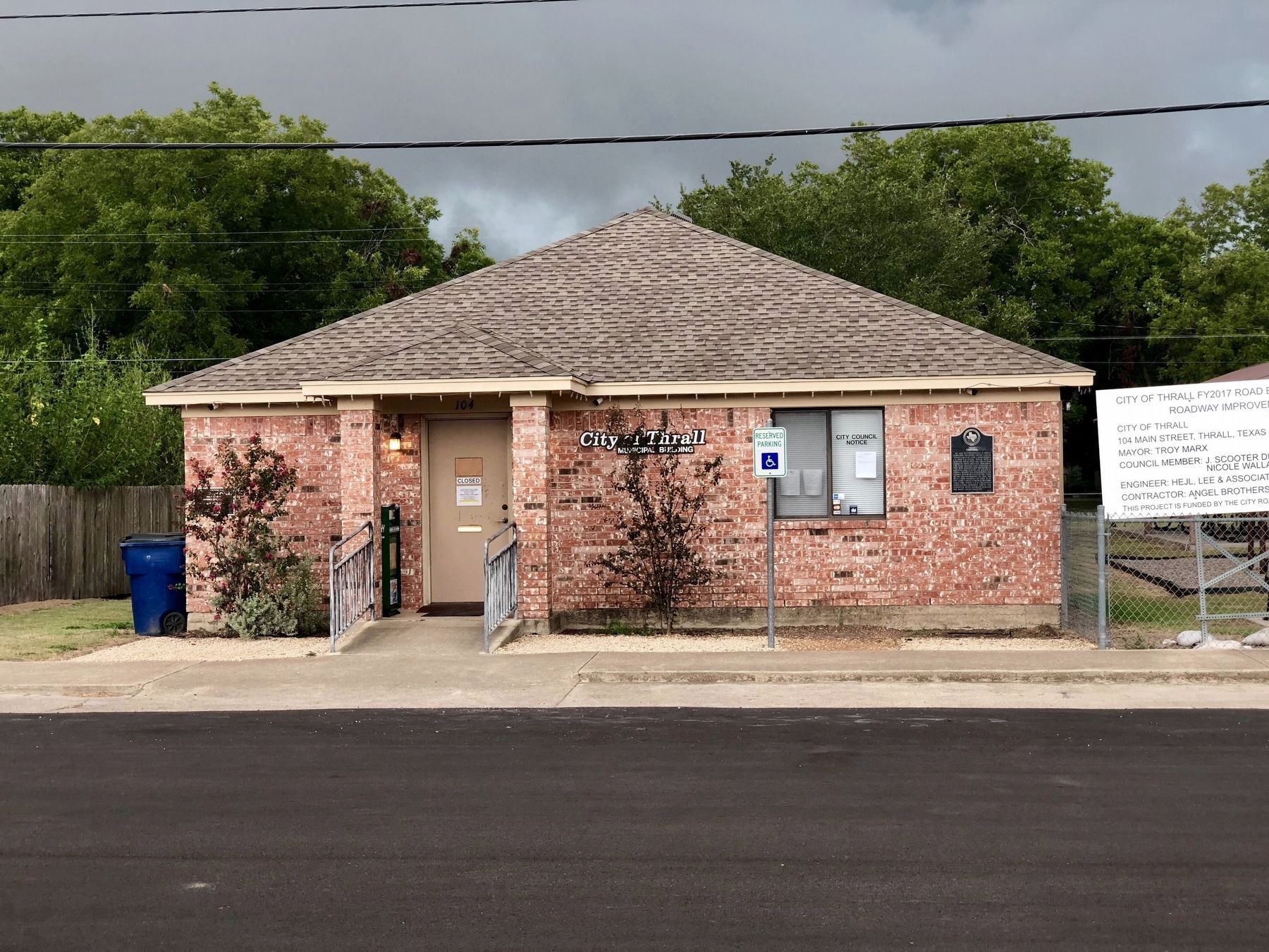
Location. 30° 35.346′ N, 97° 17.901′ W. Marker is in Thrall, Texas, in Williamson County. Marker is on Main St., on the right when traveling south. Touch for map. Marker is in this post office area: Thrall TX 76578, United States of America. Touch for directions.
Other nearby markers. At least 8 other markers are within 7 miles of this marker, measured as the crow flies. St. John Lutheran Church (about 700 feet away, measured in a direct line); Site of New Bern Church, School, and Cemetery (approx. 3.3 miles away); Zion Lutheran Church Cemetery (approx. 3.8 miles away); Howard Bland, Sr. (approx. 4.7 miles away); a different marker also named St. John Lutheran Church (approx. 5.4 miles away); St. Paul Lutheran Church, School and Cemetery (approx. 5½ miles away); Luther Stearns, Sr. (approx. 6.1 miles away); The Veterans of Taylor, Texas (approx. 6.2 miles away). Touch for a list and map of all markers in Thrall.
Also see . . .
1. Texas State Historical Commission - Thrall, Texas. (Submitted on May 12, 2011, by Keith Peterson of Cedar Park, Texas.)
2. Wikipedia - Thrall, Texas. "The 24-hour rainfall total ending 7 AM on September 10, 1921 (38.2 inches) at a U.S. Weather Bureau station in Thrall remains the national official 24-hr rainfall record." (Submitted on May 12, 2011, by Keith Peterson of Cedar Park, Texas.)
Credits. This page was last revised on June 28, 2023. It was originally submitted on December 6, 2009, by Keith Peterson of Cedar Park, Texas. This page has been viewed 900 times since then and 41 times this year. Photos: 1. submitted on December 6, 2009, by Keith Peterson of Cedar Park, Texas. 2. submitted on January 15, 2020, by QuesterMark of Fort Worth, Texas. • Bill Pfingsten was the editor who published this page.

