Tappahannock in Essex County, Virginia — The American South (Mid-Atlantic)
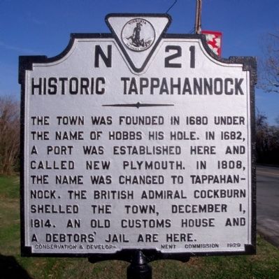
Historic Tappahannock
Erected 1929 by Conservation & Development Commission. (Marker Number N-21.)
Topics and series. This historical marker is listed in these topic lists: Colonial Era • Settlements & Settlers • War of 1812. In addition, it is included in the Virginia Department of Historic Resources (DHR) series list. A significant historical date for this entry is December 1, 1814.
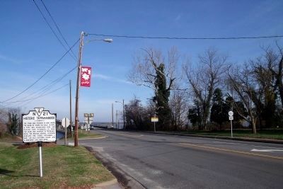
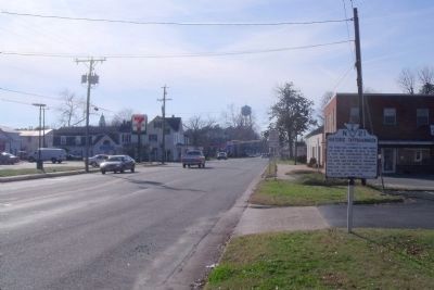
Location. 37° 55.813′ N, 76° 51.496′ W. Marker is in Tappahannock, Virginia, in Essex County. Marker is at the intersection of Queen Street (U.S. 360) and Newbill Drive (Virginia Route T-1013), on the left when traveling east on Queen Street. Touch for map. Marker is in this post office area: Tappahannock VA 22560, United States of America. Touch for directions.
Other nearby markers. At least 8 other markers are within walking distance of this marker. British Raid on Tappahannock / The War of 1812 (a few steps from this marker); The Golden Leaf that Built a Port (about 300 feet away, measured in a direct line); Max Silver (about 300 feet away); Blake-Brockenbrough Cemetery (about 300 feet away); The Manning House (about 300 feet away); Enduring Records (about 400 feet away); Ritchie's Birthplace (about 700 feet away); Veterans Memorial (about 700 feet away). Touch for a list and map of all markers in Tappahannock.
Also see . . .
1. Historical Walking Tour of Tappahannock. (Submitted on December 7, 2009, by Bernard Fisher of Richmond, Virginia.)
2. Tappahannock Historic District. National Register of Historic Places (Submitted on December 7, 2009.)
3. Essex County Museum & Historical Society. (Submitted on December 7, 2009.)
4. On the Road in Essex County - N-21-Historic Tappahannock. 2019 article by Zorine Shirley in the River Country News. Excerpt:
The Indian name “Rappahannock” meant “rise and fall of water.” “Toppahannocke” meant “town on the rise and fall of water.” The town quickly became an integral component to trade on the river with three wharfs; Ware’s, Bowlers and Saunders. All of which made “Tappahannock” a bustling town with charming homes, inns and other places of business, many of which still exist today.(Submitted on September 17, 2020.)
It was also an important waypoint for travel by horse to and from Williamsburg. The one and only George Washington—and many others of note--passed through this special town on their way to the capital of the Virginia Colony.
Credits. This page was last revised on November 1, 2021. It was originally submitted on December 7, 2009, by Bernard Fisher of Richmond, Virginia. This page has been viewed 1,482 times since then and 110 times this year. Photos: 1, 2, 3, 4, 5. submitted on December 7, 2009, by Bernard Fisher of Richmond, Virginia.


