Near Weir in Williamson County, Texas — The American South (West South Central)
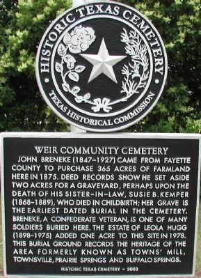
Weir Community Cemetery
Erected 2002 by Texas Historical Commission. (Marker Number 12867.)
Topics. This historical marker is listed in this topic list: Cemeteries & Burial Sites. A significant historical year for this entry is 1875.
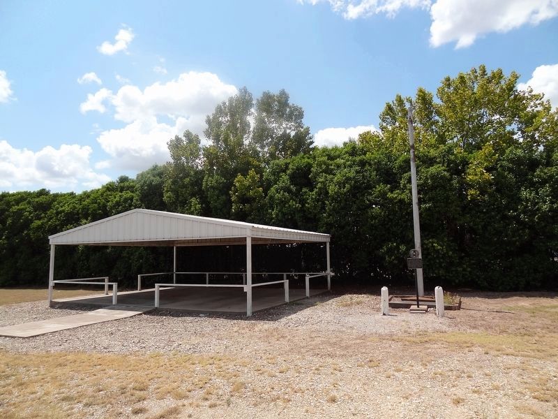
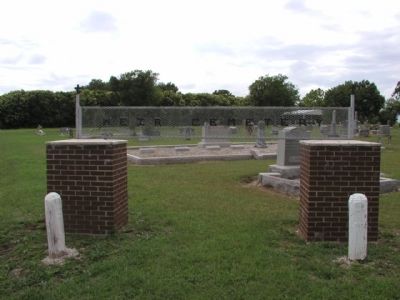
Location. 30° 39.755′ N, 97° 34.947′ W. Marker is near Weir, Texas, in Williamson County. Marker can be reached from County Road 120. Cemetery and marker are located 1.3 miles north of TX-29. Touch for map. Marker is in this post office area: Weir TX 78674, United States of America. Touch for directions.
Other nearby markers. At least 8 other markers are within 4 miles of this marker, measured as the crow flies. City of Weir (approx. 0.9 miles away); Mankins Crossing (approx. 1.1 miles away); The Double File Trail (Georgetown) (approx. 1.4 miles away); Texan Santa Fe Expedition (approx. 1.4 miles away); Site of Neusser (Naizerville) (approx. 2.7 miles away); Community of Jonah (approx. 3 miles away); Pennington Family Cemetery (approx. 3.1 miles away); John Berry, Frontiersman (approx. 3.6 miles away).
Credits. This page was last revised on August 31, 2019. It was originally submitted on December 13, 2009, by Keith Peterson of Cedar Park, Texas. This page has been viewed 806 times since then and 33 times this year. Photos: 1. submitted on December 13, 2009, by Keith Peterson of Cedar Park, Texas. 2. submitted on August 31, 2019, by Keith Peterson of Cedar Park, Texas. 3, 4. submitted on December 13, 2009, by Keith Peterson of Cedar Park, Texas. • Syd Whittle was the editor who published this page.
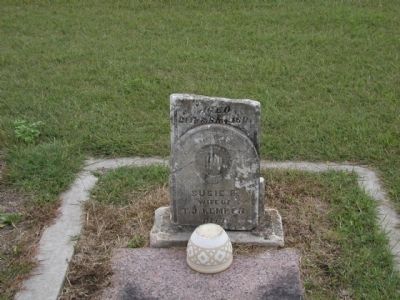
Editor’s want-list for this marker. • Photo of the Breneke, a Confederate soldier gravesite. • Can you help?


