Windsor Farms in Richmond, Virginia — The American South (Mid-Atlantic)
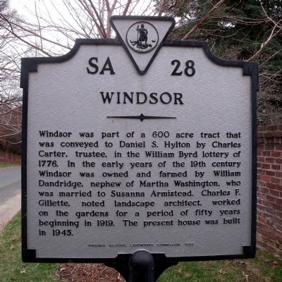
Windsor
Erected 1983 by Virginia Historic Landmarks Commission. (Marker Number SA-28.)
Topics and series. This historical marker is listed in these topic lists: Architecture • Settlements & Settlers. In addition, it is included in the Virginia Department of Historic Resources (DHR) series list. A significant historical year for this entry is 1776.
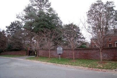
Location. 37° 33.638′ N, 77° 30.292′ W. Marker is in Richmond, Virginia. It is in Windsor Farms. Marker is at the intersection of Lilac Lane and Calycanthus Road on Lilac Lane. Touch for map. Marker is in this post office area: Richmond VA 23221, United States of America. Touch for directions.
Other nearby markers. At least 8 other markers are within one mile of this marker, measured as the crow flies. Mary-Cooke Branch Munford (approx. ¼ mile away); Virginia House (approx. half a mile away); Intermediate Line of Confederate Defenses (approx. 0.6 miles away); Ampthill (approx. 0.6 miles away); Wilton (approx. 0.8 miles away); a different marker also named Wilton (approx. 0.8 miles away); Pony Pasture Rapids (approx. 1.1 miles away); The Westwood Community (approx. 1.1 miles away). Touch for a list and map of all markers in Richmond.
Credits. This page was last revised on February 1, 2023. It was originally submitted on December 19, 2009, by Bernard Fisher of Richmond, Virginia. This page has been viewed 992 times since then and 57 times this year. Photos: 1, 2, 3. submitted on December 19, 2009, by Bernard Fisher of Richmond, Virginia.


