Fredericksburg, Virginia — The American South (Mid-Atlantic)
Fredericksburg Battlefield
The Battle of Fredericksburg
— Fredericksburg and Spotsylvania National Military Park —
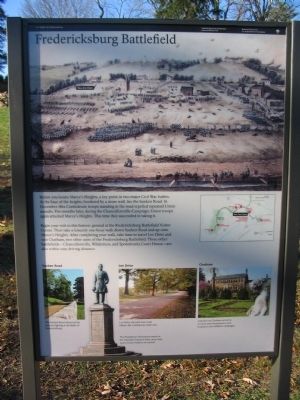
Begin your visit to this historic ground at the Fredericksburg Battlefield Visitor Center. Then take a leisurely one-hour walk down Sunken Road and up onto Marye's Heights. After completing your walk, take time to travel Lee Drive and visit Chatham, two other units of the Fredericksburg Battlefield. Three other battlefields - Chancellorsville, Wilderness, and Spotsylvania Court House - are also within easy driving distance.
Erected 2009 by National Park Service, U.S. Department of the Interior.
Topics and series. This historical marker is listed in these topic lists: Cemeteries & Burial Sites • War, US Civil. In addition, it is included in the National Cemeteries series list. A significant historical month for this entry is December 1862.
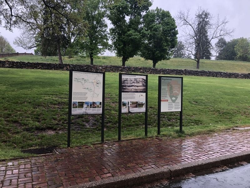
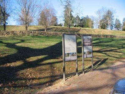
Location. 38° 17.654′ N, 77° 28.066′ W. Marker is in Fredericksburg, Virginia. Marker is at the intersection of Sunken Road and Lafayette Boulevard (Virginia Highway 1), on the right when traveling south on Sunken Road. Located in the parking lot for the Fredericksburg National Battlefield visitor center. Touch for map. Marker is in this post office area: Fredericksburg VA 22401, United States of America. Touch for directions.
Other nearby markers. At least 8 other markers are within walking distance of this marker. Fredericksburg and Spotsylvania National Military Park (a few steps from this marker); A Segregated Park Service (within shouting distance of this marker); A Winter Campaign Ends in Union Disaster (within shouting distance of this marker); Sunken Road Walking Trail (within shouting distance of this marker); Battered Buildings on Willis Hill (within shouting distance of this marker); Confederate Artillery (within shouting distance of this marker); Field of Battle (within shouting distance of this marker); Fredericksburg National Cemetery (about 300 feet away, measured in a direct line). Touch for a list and map of all markers in Fredericksburg.
More about this marker.
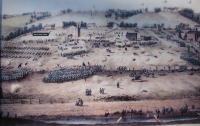
At the top of the marker is a painting of the battlefield, with a tag indicating the respective location of the marker. In the right center is a map of the park indicating the location of the park units. At the bottom are four photographs of battlefield landmarks:
Sunken Road - The Sunken Road witnessed the heaviest fighting at the Battle of Fredericksburg.
National Cemetery
Lee Drive - Lee Drive, the park tour road, follows the Confederate battle line.
Chatham - Colonial-era Chatham served as a Union army headquarters and hospital in two different campaigns.
Also see . . . Charge of Kimball's Brigade at the National History Museum. This print depicts the regiments commanded by General Nathan Kimball as they endure heavy fire in an attempt to seize the high ground of Marye's Heights. Kimball was severely wounded in the offensive and his brigade suffered a casualty level of 25 percent.Peter S. Duval, a French-born lithographer, was hired by Cephas G. Childs in 1831 to work for the firm of Childs & Inman in Philadelphia. Duval later formed a partnership with George Lehman, and Lehman & Duval took over the business of Childs & Inman in 1835. From 1839 to 1843, Duval was part of the lithography and publishing house, Huddy & Duval. He established his own lithography firm in 1843, and was joined by his son, Stephen Orr Duval, in 1858. (Submitted on April 19, 2020, by J. Makali Bruton of Accra, Ghana.)

Photographed By Craig Swain, December 12, 2009
4. Attack of Kimball's brigade, Battle of Fredericksburg, December 13, 1862
The lithograph's credits are not included on the marker. It was originally from a drawing taken on the battlefield by J.G. Keyser. P.S. Duval and son, lith., 1863. The original engraving also included a key to locations shown.
Credits. This page was last revised on February 2, 2023. It was originally submitted on December 19, 2009, by Craig Swain of Leesburg, Virginia. This page has been viewed 1,984 times since then and 21 times this year. Photos: 1. submitted on December 19, 2009, by Craig Swain of Leesburg, Virginia. 2. submitted on April 19, 2020, by Devry Becker Jones of Washington, District of Columbia. 3, 4. submitted on December 19, 2009, by Craig Swain of Leesburg, Virginia.


