Locust Point Industrial Area in Baltimore, Maryland — The American Northeast (Mid-Atlantic)
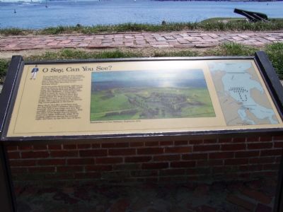
O Say Can You See?
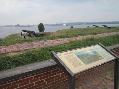
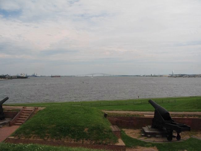
If you had been standing on this rampart with the American gunners on the morning of September 14, 1814, you would have had a close-up view of the dramatic scene Francis Scott Key described in our National Anthem.
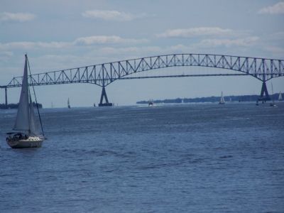
About two miles downstream, half way to the large Francis Scott Key Bridge visible today, the British fleet had gathered to attack Fort McHenry. A few enemy ships sailed in closer by turns to fire their bombs and rockets. Francis Scott Key watched from the deck of a truce ship at the fleet’s rear—behind the modern bridge. Above and behind you, the famous flag waved gallantly in the breeze.
Many doubt that Key could have seen the flag from such a distance. Remember, however, that it was large, and that Key probably watched through a spyglass. Also, the colors of the bright-starred banner could have shone brilliantly when lit by flashing explosives during the overcast night, and later, by the first rays of dawn.
Erected by National Park Service, U.S. Department of the Interior.
Topics and series. This historical marker is listed in these topic lists: Arts, Letters, Music • Forts and Castles • War of 1812. In addition, it is included in the Maryland, Fort McHenry series list. A significant historical date for this entry is September 14, 1814.
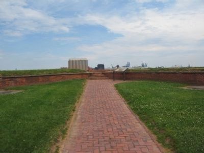
Location. Marker has been permanently removed. It was located near 39° 15.79′ N, 76° 34.753′ W. Marker was in Baltimore, Maryland. It was in the Locust Point Industrial Area. Marker could be reached from Constellation Plaza east of Wallace Street, on the right when traveling east. The marker stood inside the fort. Touch for map. Marker was at or near this postal address: 2400 E Fort Ave, Baltimore MD 21230, United States of America.
We have been informed that this sign or monument is no longer there and will not be replaced. This page is an archival view of what was.
Other nearby markers. At least 8 other markers are within walking distance of this location. Dawn's Early Light (here, next to this marker); The Great Guns of the Fort… The Rodman Cannons (a few steps from this marker); Experimental Carriages (a few steps from this marker); You Can Help Save Fort McHenry (a few steps from this marker); Entering Fort McHenry … A Deadly Crossfire (within shouting distance of this marker); Ravelin Magazine (within shouting distance of this marker); 1814 Enlisted Men's Barracks, No 2 (within shouting distance of this marker); Bombproofs (within shouting distance of this marker). Touch for a list and map of all markers in Baltimore.
Regarding O Say Can You See?. The Key Bridge referenced in the inscription collapsed on March 26, 2024. This marker was, by then, noted as permanently removed.
Credits. This page was last revised on April 8, 2024. It was originally submitted on September 18, 2007, by Bill Pfingsten of Bel Air, Maryland. This page has been viewed 2,242 times since then and 46 times this year. Last updated on April 8, 2024, by Carl Gordon Moore Jr. of North East, Maryland. Photos: 1. submitted on September 18, 2007, by Bill Pfingsten of Bel Air, Maryland. 2. submitted on August 23, 2008, by Bill Coughlin of Woodland Park, New Jersey. 3. submitted on August 25, 2010, by Craig Swain of Leesburg, Virginia. 4. submitted on September 18, 2007, by Bill Pfingsten of Bel Air, Maryland. 5. submitted on August 25, 2010, by Craig Swain of Leesburg, Virginia. • Devry Becker Jones was the editor who published this page.
