Copacabana in Rio de Janeiro, Brazil — Southeast Region (Coastal)
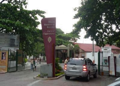
Copacabana Fort
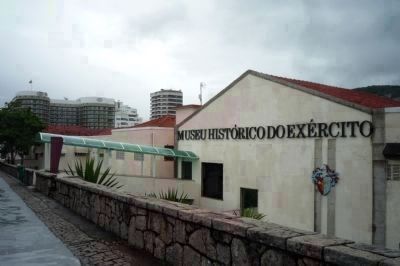
Army History Museum
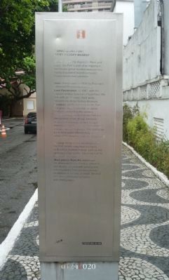
Inscription.
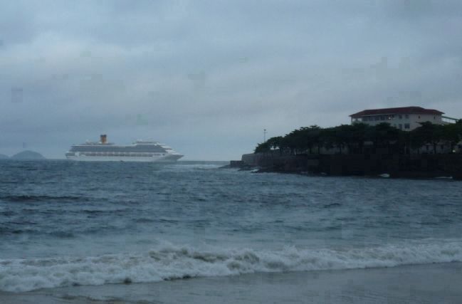
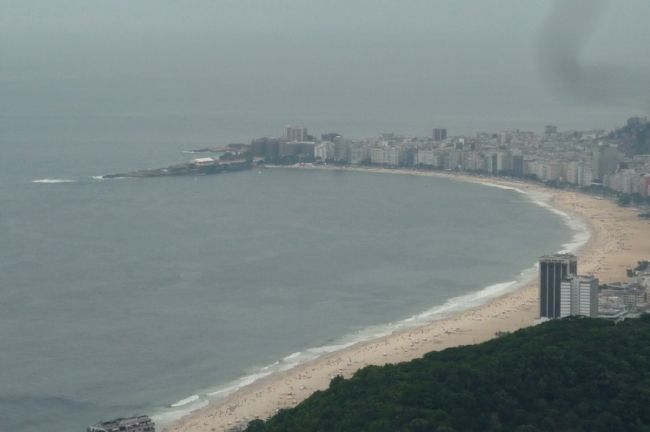
Together with the Arpoador Rock and Cape, the Fort is part of an important landscape group located between two highly populated neighbourhoods: Copacabana and Ipanema.
Date: inaugurated in 1914 by President Marechal Hermes da Fonseca.
Last Restoration: in 1987, with the coastal artillery batteries phased out, the fort with its 12-meter thick walls, became the Army History Museum.
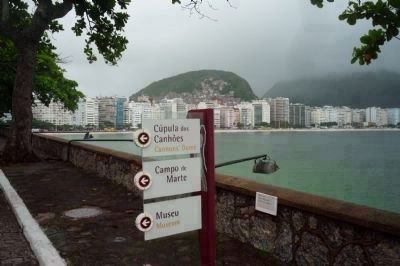
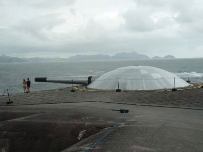
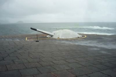
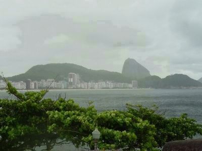
Features: at the entrance of the Fort is a grotto with a statuette of Santa Barbara, protecting the soldiers. Of outstanding interest at the Fort are the German-made Krupp cannons in armored shelters, as well as light armament used by the coastal artillery and anti-aircraft batteries. The Fort is on a rocky point offering magnificent views of the beaches and Sugar Loaf.
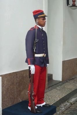
History: designated as a battleground, the Fort recalls important moments of Brazilian political history, such as the uprising known as the “Movement of the Eighteen” in 1922.
Main pieces from the collection: the Alameda Otavio Correia, where the visit begins, is lined with artillery and infantry pieces from various periods. In addition to the war material, the Fort also has a Collection of books and photographs.
Erected by Prefeitura do Rio. (Marker Number 01246020.)
Topics. This historical marker is listed in this topic list: Forts and Castles. A significant historical year for this entry is 1914.
Location. 22° 59.2′ S, 43° 11.262′ W. Marker is in Rio de Janeiro. It is in Copacabana. Marker can be reached from the Forte de Copacabana access road north of Rua Garota de Ipanema. Marker is on the sidewalk near the "Movement of the Eighteen" memorial, south of the inner gateway to the fort's north shore promenade. Touch for map. Marker is at or near this postal address: Praça Cel Eugênio Franco 3, Rio de Janeiro 22080-040, Brazil. Touch for directions.
Other nearby markers. At least 8 other markers are within 10 kilometers of this marker, measured as the crow flies. APA das Pontas de Copacabana e Arpoador (within shouting distance of this marker); Augusto Ferreira Ramos (approx. 4.6 kilometers away); Christ the Redeemer Monument (approx. 5.2 kilometers away); CCAPA (approx. 5.3 kilometers away); Cristovão Leite de Castro (approx. 5.3 kilometers away); Ordem Terceira do Carmo Church (approx. 9.4 kilometers away); Praça 15 de Novembro (approx. 9.4 kilometers away); João Cândido Felisberto Memorial (approx. 9.5 kilometers away). Touch for a list and map of all markers in Rio de Janeiro.
Also see . . . Brazilian Army. (Submitted on December 28, 2009, by Richard E. Miller of Oxon Hill, Maryland.)
Additional keywords.
Brasil; Forte de Copacabana/Museu Histórico do Exército; Baia da Guanabara.
Credits. This page was last revised on January 31, 2023. It was originally submitted on December 28, 2009, by Richard E. Miller of Oxon Hill, Maryland. This page has been viewed 2,348 times since then and 21 times this year. Photos: 1, 2, 3, 4, 5. submitted on December 28, 2009, by Richard E. Miller of Oxon Hill, Maryland. 6. submitted on January 2, 2010, by Richard E. Miller of Oxon Hill, Maryland. 7, 8, 9, 10. submitted on December 28, 2009, by Richard E. Miller of Oxon Hill, Maryland. • Craig Swain was the editor who published this page.
