Bakersfield in Kern County, California — The American West (Pacific Coastal)
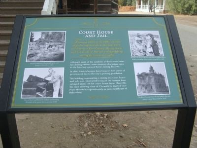
Court House and Jail
From the 1850s to the 1890s, the lure of gold brought people to the mountains and deserts of Kern County. Mining towns such as Claraville, Havilah and Randsburg sprang up almost overnight.
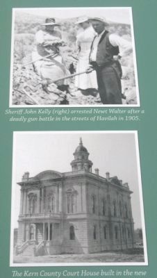
Although most of the residents of these towns were law abiding citizens, some unsavory characters came to the bustling towns of Kern’s mining districts.
In 1866, Havilah became Kern County’s first center of government due to the city’s growing population.
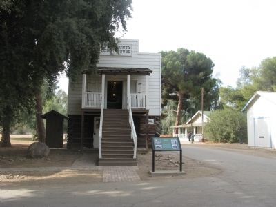
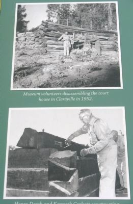
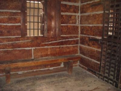
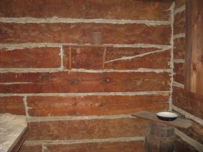
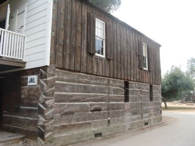
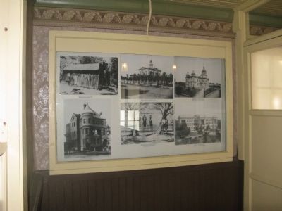
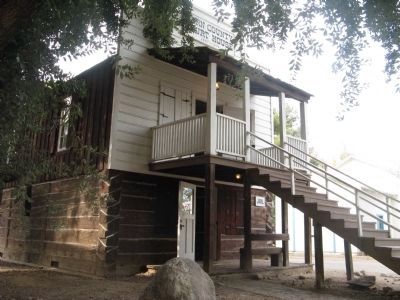
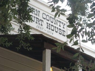
This building, representing a mining era court house and jail, was constructed in 1953 at the museum from salvaged pieces of the court house from Claraville. The once thriving town of Claraville is located near Piute Mountain approximately 50 miles northeast of Bakersfield.
Erected by Kern County Museum.
Topics. This historical marker is listed in these topic lists: Government & Politics • Notable Buildings. A significant historical year for this entry is 1866.
Location. 35° 23.587′ N, 119° 1.257′ W. Marker is in Bakersfield, California, in Kern County. Marker can be reached from Chester Avenue. Marker is located across from the Hotel Fellows at Pioneer Village at the Kern County Museum. Touch for map. Marker is at or near this postal address: 3801 Chester Avenue, Bakersfield CA 93301, United States of America. Touch for directions.
Other nearby markers. At least 8 other markers are within walking distance of this marker. Assay Office (a few steps from this marker); Hotel Fellows (a few steps from this marker); Kern Valley Bank (a few steps from this marker); Metcalf House (a few steps from this marker); Fraternal Hall (a few steps from this marker); Dentist's Office (a few steps from this marker); Bandstand (within shouting distance of this marker); General Store (within shouting distance of this marker). Touch for a list and map of all markers in Bakersfield.
Regarding Court House and Jail. Claraville was once the metropolis of the region, in spite of being located at an elevation of 6000 ft. Only Havilah, and Kernville had larger populations. The last dilapidated building been removed and the remains were used to build the Courthouse at the Bakersfield's Pioneer Village. It had served as Claraville's court of justice. About six miles north was the Bright Star Mine, the richest in the area. It was owned by three brothers. When this mine collapsed, it marked the beginning of the end for the entire district.
Credits. This page was last revised on August 1, 2018. It was originally submitted on December 29, 2009, by Syd Whittle of Mesa, Arizona. This page has been viewed 1,308 times since then and 22 times this year. Photos: 1, 2, 3, 4, 5, 6, 7, 8, 9, 10. submitted on December 29, 2009, by Syd Whittle of Mesa, Arizona.
