Winchester in Franklin County, Tennessee — The American South (East South Central)
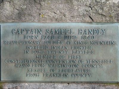
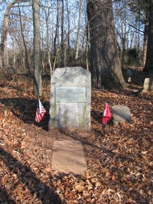
Captain Samuel Handly
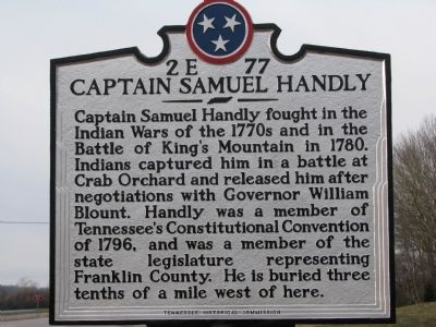
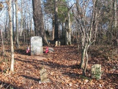
Capt. Samuel Handly fought in the Indian Wars of the 1770's and in the Battle of King's Mountain in 1780. Indians captured him in a battle at Crab Orchard and released him after negotiations with Gov. William Blount. Handly was a member of Tennessee Constitutional Convention of 1796, and was a member of the state legislature representing Franklin Co. He is buried three tenths of a mile west of here.
Erected by Tennessee Historical Commission. (Marker Number 2E 77.)
Topics and series. This historical marker is listed in this topic list: War, US Revolutionary. In addition, it is included in the Tennessee Historical Commission series list. A significant historical year for this entry is 1780.
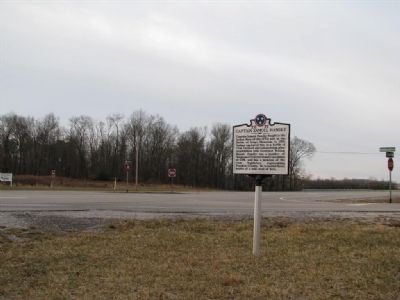
Location. 35° 8.369′ N, 86° 10.4′ W. Marker is in Winchester, Tennessee, in Franklin County. Marker is at the intersection of U.S. 64 and Kasserman Road, on the right when traveling west on U.S. 64. Touch for map. Marker is in this post office area: Winchester TN 37398, United States of America. Touch for directions.
Other nearby markers. At least 8 other markers are within 5 miles of this marker, measured as the crow flies. First United Church, U.C.C. (approx. 1.1 miles away); John Ruch (approx. 2.2 miles away); "Kentuck" (approx. 3.9 miles away); Polly Finlay Crockett (approx. 4.3 miles away); The Blind Knight (approx. 4.3 miles away); The Franklin County Confederate Memorial Cemetery (approx. 4˝ miles away); Trinity Episcopal Church (approx. 4.6 miles away); Built 1920 (approx. 4.7 miles away). Touch for a list and map of all markers in Winchester.
Also see . . . Samuel Handly. Tennessee Handleys of the Revolutionary War website entry (Submitted on January 3, 2010, by Tom Gillard of Tullahoma, Tennessee.)
Credits. This page was last revised on August 29, 2023. It was originally submitted on January 3, 2010, by Tom Gillard of Tullahoma, Tennessee. This page has been viewed 1,188 times since then and 17 times this year. Photos: 1, 2, 3, 4, 5. submitted on January 3, 2010, by Tom Gillard of Tullahoma, Tennessee. • Craig Swain was the editor who published this page.
