Sandyston Township in Sussex County, New Jersey — The American Northeast (Mid-Atlantic)
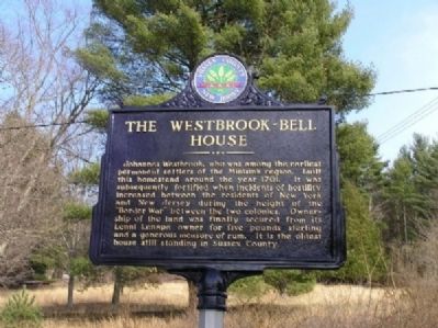
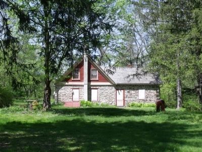
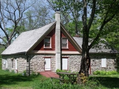
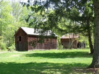
The Westbrook - Bell House
Erected 2003 by Sussex County Board of Chosen Freeholders and Sussex County Historic Marker Committee.
Topics and series. This historical marker is listed in these topic lists: Colonial Era • Notable Buildings • Settlements & Settlers. In addition, it is included in the New Jersey, Sussex County Board of Chosen Freeholders series list. A significant historical year for this entry is 1701.
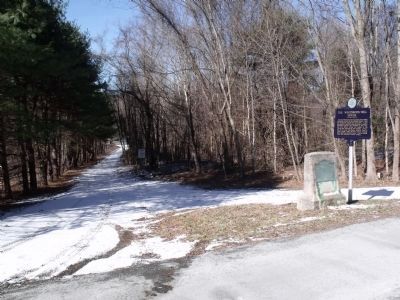
Location. 41° 16.552′ N, 74° 49.365′ W. Marker is near Sandyston, New Jersey, in Sussex County. It is in Sandyston Township. Marker is on Old Mine Road. Touch for map. Marker is in this post office area: Branchville NJ 07826, United States of America. Touch for directions.
Other nearby markers. At least 8 other markers are within 4 miles of this marker, measured as the crow flies. Old Mine Road (here, next to this marker); Wyoming-Minisink Path (approx. one mile away in Pennsylvania); Hainesville, New Jersey (approx. 2 miles away); Brick House Village (approx. 2.3 miles away); Pennsylvania (approx. 2.7 miles away in Pennsylvania); Benjamin Alden Bidlack (approx. 2.9 miles away in Pennsylvania); Gifford Pinchot (approx. 2.9 miles away in Pennsylvania); Metz Ice Plant c. 1869 (approx. 3.1 miles away in Pennsylvania). Touch for a list and map of all markers in Sandyston.
Also see . . . Historical Information and Pictures from the Historical American Building Survey, c1935. (Submitted on January 13, 2010.)
Credits. This page was last revised on February 7, 2023. It was originally submitted on January 13, 2010, by Cheryl (Rome) Thom of Newton, New Jersey. This page has been viewed 2,451 times since then and 54 times this year. Photos: 1. submitted on January 13, 2010, by Cheryl (Rome) Thom of Newton, New Jersey. 2. submitted on February 4, 2010, by Cheryl (Rome) Thom of Newton, New Jersey. 3, 4, 5. submitted on May 13, 2010, by Cheryl (Rome) Thom of Newton, New Jersey. • Kevin W. was the editor who published this page.
