Erving in Franklin County, Massachusetts — The American Northeast (New England)
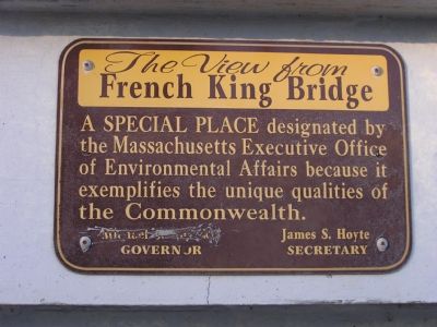
The View from the French King Bridge
Erected 1932.
Topics. This historical marker is listed in this topic list: Bridges & Viaducts.
Location. 42° 35.86′ N, 72° 29.792′ W. Marker is in Erving, Massachusetts, in Franklin County. Marker is on Mohawk Trail (Massachusetts Route 2), on the right when traveling west. The bridge lies between the towns of Gill and Erving. Touch for map. Marker is in this post office area: Erving MA 01344, United States of America. Touch for directions.
Other nearby markers. At least 8 other markers are within 5 miles of this marker, measured as the crow flies. Riverside Village Historic District (approx. 2.8 miles away); Captain William Turner (approx. 2.8 miles away); Waterfowl Migration (approx. 3.1 miles away); Songbirds (approx. 3.1 miles away); Nature's Puzzle (approx. 3.1 miles away); Factory Hollow (approx. 3.3 miles away); Captain Richard Beers (approx. 4.6 miles away); Indian Council Fires (approx. 4.8 miles away).
More about this marker. The governor’s name has been scrawled off the marker, but could be determined based on the secretary’s name.
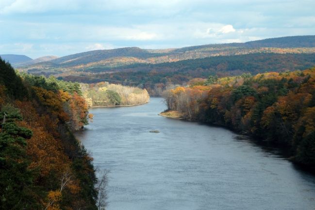
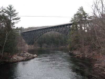
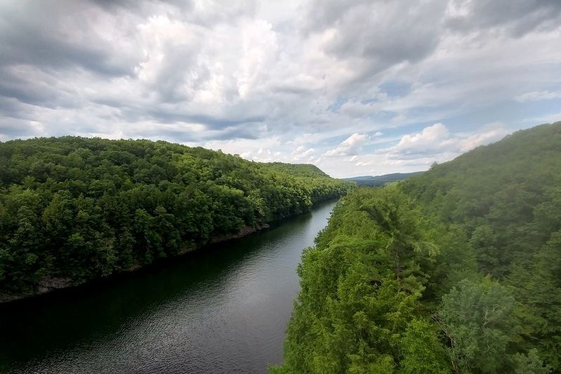
Regarding The View from the French King Bridge. This bridge has breathtaking views that are totally unexpected, compared to the rest of Route 2 which is surrounded by trees and hills for the rest of it (eastward).
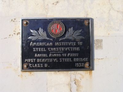
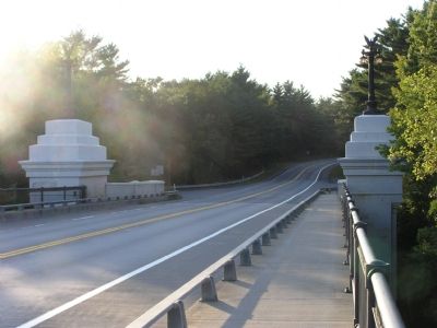
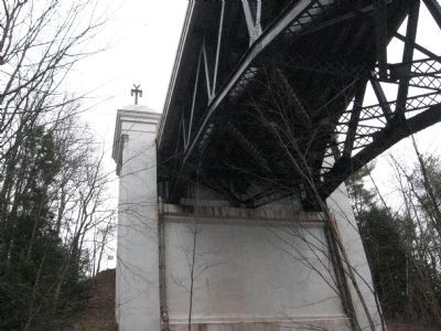
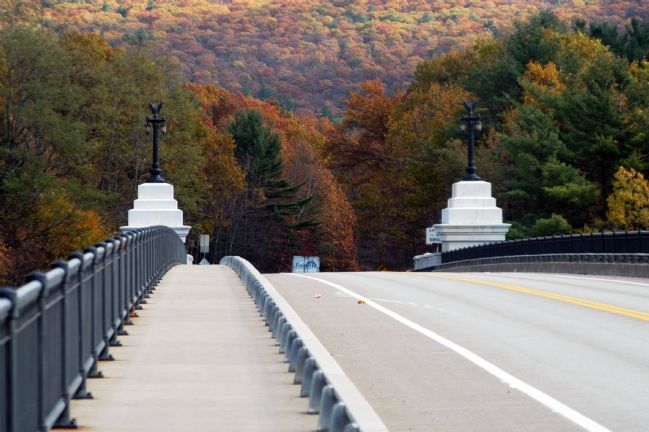
The bridge itself is beautiful, an example of the era when aesthetics and function were more closely related in public works. It is also, according to the Massachusetts Highway Department, “an unusual development of the uncommon three-span, ‘cantilever arch’ bridge type.”
The bridge takes its name from nearby French King Rock in the Connecticut River gorge that it spans.
Additional keywords. Silvio O. Conte Steel construction
Credits. This page was last revised on July 11, 2020. It was originally submitted on September 22, 2007, by Antonio Prats of Shrewsbury, Massachusetts. This page has been viewed 4,982 times since then and 47 times this year. Photos: 1, 2, 3, 4. submitted on September 22, 2007, by Antonio Prats of Shrewsbury, Massachusetts. 5. submitted on November 5, 2007, by William Morrissette of Northampton, Massachusetts. 6, 7. submitted on December 30, 2011, by Tony Farrick of Shelburne Falls, Ma.. 8. submitted on July 5, 2020, by Richard Albright of Phillipston, Massachusetts. 9. submitted on November 5, 2007, by William Morrissette of Northampton, Massachusetts. • J. J. Prats was the editor who published this page.
Editor’s want-list for this marker. • • Can you help?
