Ridgeville in Dorchester County, South Carolina — The American South (South Atlantic)
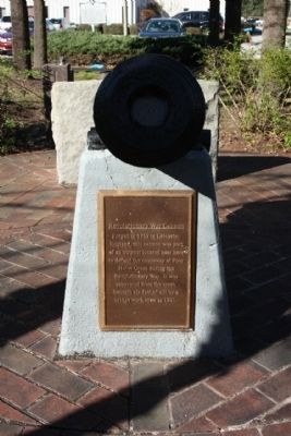
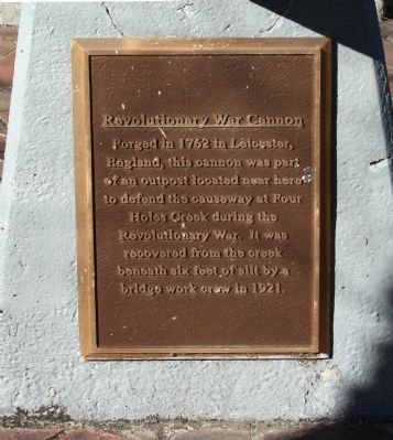
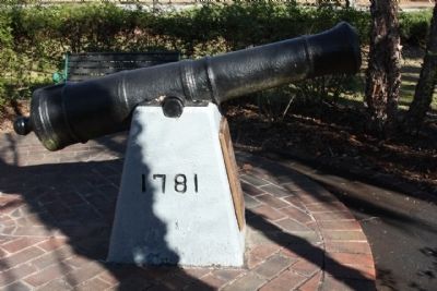
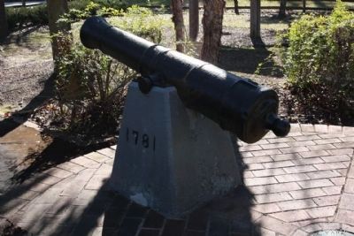
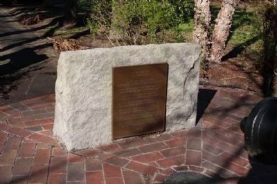
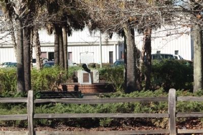
Revolutionary War Cannon
England, this cannon was part
of an outpost located near here
to defend the causeway at Four
Holes Creek during the
Revolutionary War. It was
recovered from the creek
beneath six feet of silt by a
bridge work crew in 1921.
(Plaque Behind Cannon):
A Cannon's Pride
by Edward Jack Smith
In 1781, when I was shiny and new,
I served atop this hill against The British marching through.
I was the first gun to fire when the Redcoats came in sight.
I demanded retribution, and I challenged them to fight.
Firing from the Ramparts into a sea of red,
I gave glory to the honor of every patriot dead.
The British broke into the woods as fast as they could go,
then bogged down with the gators in the mud of the Ol' Four Hole.
Now once more, I stand on watch for passers-by to see.
I serve as a quiet reminder that their freedom isn't free.
From the days of the Revolution, to the World War marching bands,
for all who served in Asia, or stormed the desert sands.
To all the Patriots yet unborn who will guard our liberty,
I thank you for the sacrifice you pay to follow me. July 1999
Topics. This historical marker is listed in this topic list: War, US Revolutionary . A significant historical month for this entry is July 1999.
Location. 33° 8.561′ N, 80° 21.145′ W. Marker is in Ridgeville, South Carolina, in Dorchester County. Marker is on East Main Street (U.S. 178) near U.S. 78, in the median. Located in a small park near the junction of the two highways. Touch for map. Marker is in this post office area: Dorchester SC 29437, United States of America. Touch for directions.
Other nearby markers. At least 8 other markers are within 7 miles of this marker, measured as the crow flies. Four Holes Swamp (here, next to this marker); Four Holes Swamp Bridge / Harley's Tavern (here, next to this marker); Moorefield Memorial Highway, (Southern Terminus) (about 500 feet away, measured in a direct line); Berkeley County (approx. 2.4 miles away); Dorchester (approx. 2˝ miles away); Ridgeville (approx. 3.9 miles away); Cypress Methodist Camp Ground (approx. 5.3 miles away); Spring Hill Methodist Church (approx. 6.4 miles away). Touch for a list and map of all markers in Ridgeville.
Regarding Revolutionary War Cannon. The first bridge across Four Holes Swamp, a branch of the Edisto River, was built between 1770 and 1780 and was located about 200 ft. N. of the present bridge. The old bridge, on the road from Orangeburg to Charleston, was the site of several actions in 1781 and 1782 where S.C. militia and Patriot forces under Cols. Henry and Wade Hampton and William Harden clashed with Loyalists.(Dorchester County)
Credits. This page was last revised on June 16, 2016. It was originally submitted on January 17, 2010, by Mike Stroud of Bluffton, South Carolina. This page has been viewed 1,764 times since then and 45 times this year. Photos: 1, 2, 3, 4, 5, 6, 7. submitted on January 17, 2010, by Mike Stroud of Bluffton, South Carolina. • Craig Swain was the editor who published this page.
