Winchester, Virginia — The American South (Mid-Atlantic)
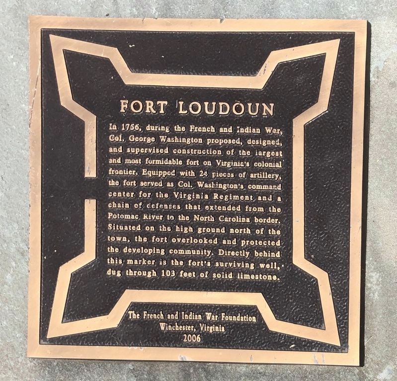
Fort Loudoun
Erected 2006 by The French and Indian War Foundation.
Topics. This historical marker is listed in these topic lists: Colonial Era • Forts and Castles • War, French and Indian. A significant historical year for this entry is 1756.
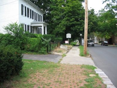
Location. 39° 11.334′ N, 78° 9.835′ W. Marker is in Winchester, Virginia. Marker is at the intersection of Loudoun Street and Peyton Street, on the right when traveling south on Loudoun Street. Located about 200 feet north of the intersection of Peyton and Loudoun Streets. Touch for map. Marker is at or near this postal address: 419 Loudoun Street, Winchester VA 22601, United States of America. Touch for directions.
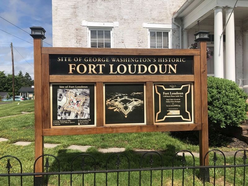
Other nearby markers. At least 8 other markers are within walking distance of this marker. A different marker also named Fort Loudoun (a few steps from this marker); Washington's Well (a few steps from this marker); Site of Fort Loudoun (within shouting distance of this marker); Jackson’s Headquarters (about 400 feet away, measured in a direct line); a different marker also named Jackson’s Headquarters (about 500 feet away); Dangerous Liaison (about 700 feet away); George Washington Lot (approx. 0.2 miles away); John Kirby, Jazz Musician (approx. 0.2 miles away). Touch for a list and map of all markers in Winchester.
Regarding Fort Loudoun. The text is very similar to the state marker standing a few feet away.
Also see . . . Fort Loudoun Well. (Submitted on September 23, 2007, by Craig Swain of Leesburg, Virginia.)
Credits. This page was last revised on May 28, 2020. It was originally submitted on September 23, 2007, by Craig Swain of Leesburg, Virginia. This page has been viewed 1,893 times since then and 27 times this year. Photos: 1. submitted on May 28, 2020, by Devry Becker Jones of Washington, District of Columbia. 2. submitted on September 23, 2007, by Craig Swain of Leesburg, Virginia. 3. submitted on May 28, 2020, by Devry Becker Jones of Washington, District of Columbia. • J. J. Prats was the editor who published this page.


