Central East Austin in Travis County, Texas — The American South (West South Central)
Swedish Hill
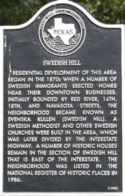
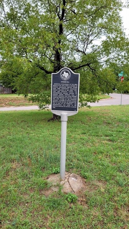
Residential development of this area began in the 1870s when a number of Swedish immigrants erected homes near their downtown businesses. Initially bounded by Red River, 14th, 18th, and Navasota streets, the neighborhood became known as Svenska Kullen (Swedish Hill). A Swedish Methodist and other Swedish churches were built in the area, which was later divided by the interstate highway. A number of historic houses remain in the section of Swedish Hill that is east of the interstate. The neighborhood was listed in the National Register of Historic Places in 1986.
Erected 1990 by Texas Historical Commission. (Marker Number 12686.)
Topics. This historical marker is listed in this topic list: Notable Places. A significant historical year for this entry is 1986.
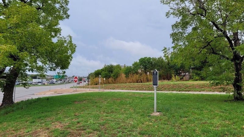
Location. 30° 16.514′ N, 97° 43.833′ W. Marker is in Austin, Texas, in Travis County. It is in Central East Austin. Marker is on I-35 Frontage Road (Interstate 35 Frontage Road) near the intersection of Olander and East 15th Streets, on the right when traveling north. Touch for map. Marker is in this post office area: Austin TX 78701, United States of America. Touch for directions.
Other nearby markers. At least 8 other markers are within walking distance of this marker. Joseph Baker (about 700 feet away, measured in a direct line); George Washington Glasscock (about 700 feet away); Major William Martin “Buck” Walton (about 800 feet away); Jacob Fontaine (about 800 feet away); Oakwood Cemetery (approx. 0.2 miles away); Gen. George W. Terrell (approx. 0.2 miles away); Johann Jacob Groos (approx. 0.2 miles away); Brackenridge Hospital (approx. 0.2 miles away). Touch for a list and map of all markers in Austin.
Also see . . . Handbook of Texas Online - Swede Hill, Texas. (Submitted on January 18, 2010, by Keith Peterson of Cedar Park, Texas.)
Credits. This page was last revised on February 1, 2023. It was originally submitted on January 18, 2010. This page has been viewed 774 times since then and 21 times this year. Last updated on September 12, 2020, by Richard Denney of Austin, Texas. Photos: 1. submitted on January 18, 2010, by Keith Peterson of Cedar Park, Texas. 2, 3. submitted on August 30, 2022, by James Hulse of Medina, Texas. • J. Makali Bruton was the editor who published this page.


