Downtown Austin in Travis County, Texas — The American South (West South Central)
Third Site For Travis County Government
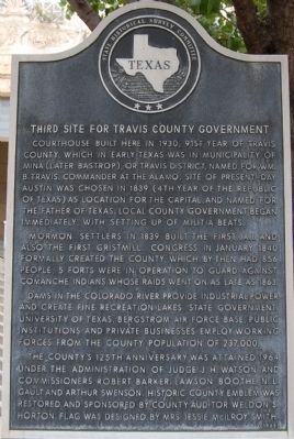
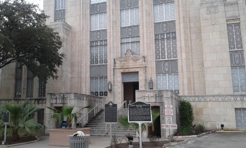
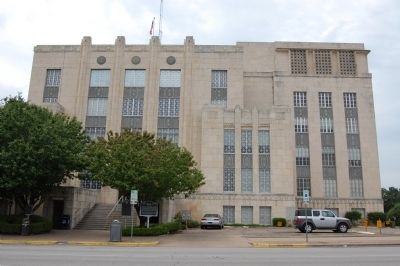
Courthouse built here in 1930, 91st year of Travis County, which in early Texas was in municipality of Mina (later Bastrop) or Travis District, named for Wm. B. Travis, commander at the Alamo. Site of present-day Austin was chosen in 1839 (4th year of the Republic of Texas) as location for the capital, and named for the father of Texas. Local county government began immediately, with setting up of militia beats.
Mormon settlers in 1839 built the first jail and also the first gristmill. Congress in January 1840 formally created the county, which by then had 856 people. 5 forts were in operation to guard against Comanche Indians whose raids went on as late as 1863.
Dams in the Colorado River provide industrial power and create fine recreation lakes. State government, University of Texas, Bergstrom Air Force Base, public institutions and private businesses employ working forces from the county population of 237,000.
The county’s 125th anniversary was attained 1964 under the administration of Judge J.H. Watson and Commissioners Robert Barker, Lawson Boothe, N.L. Gault and Arthur Swenson. Historic county emblem was restored and sponsored by County Auditor Weldon’s Horton flag was designed by Mrs. Jessie McIlroy Smith.
Erected 1965 by State Historical Survey Committee . (Marker Number 6426.)
Topics. This historical marker is listed in this topic list: Government & Politics. A significant historical month for this entry is January 1840.
Location. 30° 16.398′ N, 97° 44.691′ W. Marker is in Austin, Texas, in Travis County. It is in Downtown Austin. Marker is at the intersection of West 11th Street and Guadalupe Street, on the right when traveling south on West 11th Street. Touch for map. Marker is in this post office area: Austin TX 78701, United States of America. Touch for directions.
Other nearby markers. At least 8 other markers are within walking distance of this marker. Heman Marion Sweatt (here, next to this marker); Zachary Taylor Fulmore (about 300 feet away, measured in a direct line); Wooldridge Park (about 400 feet away); Central Christian Church (about 500 feet away); Booker T. Washington (about 500 feet away); Votes for Women (about 500 feet away); Brizendine House (about 500 feet away); Wooldridge Square (about 500 feet away). Touch for a list and map of all markers in Austin.
Credits. This page was last revised on February 1, 2023. It was originally submitted on January 20, 2010, by Keith Peterson of Cedar Park, Texas. This page has been viewed 886 times since then and 20 times this year. Photos: 1. submitted on January 20, 2010, by Keith Peterson of Cedar Park, Texas. 2. submitted on February 27, 2019, by Kayla Harper of Dallas, Texas. 3. submitted on January 20, 2010, by Keith Peterson of Cedar Park, Texas. • Bill Pfingsten was the editor who published this page.


