Dorchester in Dorchester County, South Carolina — The American South (South Atlantic)
Four Holes Swamp Bridge / Harley's Tavern
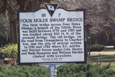
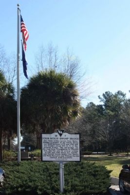
Four Holes Swamp Bridge
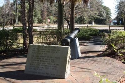
The first bridge across Four Holes Swamp, a branch of the Edisto River, was built between 1770 and 1780 and was located about 200 ft. N. of the present bridge. The old bridge, on the road from Orangeburg to Charleston, was the site of several actions in 1781 and 1782 where S.C. militia and Patriot forces under Cols. Henry and Wade Hampton and William Harden clashed with Loyalists.
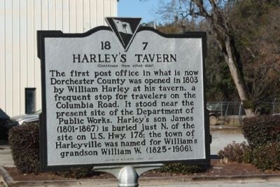
Harley's Tavern
The first post office in what is now Dorchester County was opened in 1803 by William Harley at his tavern, a frequent stop for travelers on the Columbia Road. It stood near the present site of the Department of Public Works. Harley's son James (1801-1867) is buried just N. of the site on U.S. Hwy. 178; the town of Harleyville was named for William's grandson William W. (1825-1906).
Erected 1999 by Dorchester County. (Marker Number 18-7.)
Topics. This historical marker is listed in this topic list: War, US Revolutionary. A significant historical year for this entry is 1770.
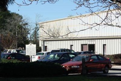
Location. 33° 8.562′ N, 80° 21.15′ W. Marker is in Dorchester, South Carolina, in Dorchester County. Marker is on East Main Street (U.S. 178) near U.S. 78, on the right when traveling east. Located at the Public Works parking lot. Touch for map . Marker is in this post office area: Dorchester SC 29437, United States of America. Touch for directions.
Other nearby markers. At least 8 other markers are within 7 miles of this marker, measured as the crow flies. Four Holes Swamp (here, next to this marker); Revolutionary War Cannon (here, next to this marker); Moorefield Memorial Highway, (Southern Terminus) (about 500 feet away, measured in a direct line); Berkeley County (approx. 2.4 miles away); Dorchester (approx. 2˝ miles away); Ridgeville (approx. 3.9 miles away); Cypress Methodist Camp Ground (approx. 5.3 miles away); Spring Hill Methodist Church (approx. 6.4 miles away). Touch for a list and map of all markers in Dorchester.
Credits. This page was last revised on June 16, 2016. It was originally submitted on January 21, 2010, by Mike Stroud of Bluffton, South Carolina. This page has been viewed 2,084 times since then and 79 times this year. Photos: 1, 2, 3, 4, 5. submitted on January 21, 2010, by Mike Stroud of Bluffton, South Carolina. • Craig Swain was the editor who published this page.
