Washington Township near Morrow in Warren County, Ohio — The American Midwest (Great Lakes)
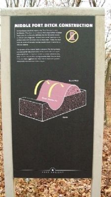
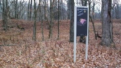
Middle Fort Ditch Construction
Archaeologists cite three reasons why “Fort” Ancient is not a fortification. First, there is no evidence that a large number of people lived inside the earthworks, definitely not the thousands needed to defend such a large area. Second, there are 67 openings in the earthen walls with no known way to close them. Finally, the ditch is on the inside of the walls not the outside where it would be an effective defense.
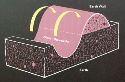
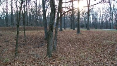
The purpose of the interior ditch is unknown. The ditch probably provided soil for the construction of the earth walls and may be only a borrow pit. It may have served as a water collection area. Early records indicate that a spring once fed water into the ditch. It has also been suggested that water had an important symbolic relationship with American Indian religion.
Erected by The Ohio Historical Society.
Topics. This historical marker is listed in these topic lists: Churches & Religion • Forts and Castles • Man-Made Features • Native Americans.
Location. 39° 24.274′ N, 84° 5.452′ W. Marker is near Morrow, Ohio, in Warren County. It is in Washington Township. Marker is in the Middle Fort in Fort Ancient State Memorial, about 800 feet SSW of the museum and about 75 feet SE of the site access road. Touch for map. Marker is at or near this postal address: 6123 Ohio Route 350, Oregonia OH 45054, United States of America. Touch for directions.
Other nearby markers. At least 8 other markers are within walking distance of this marker. Astronomical Alignments (approx. 0.2 miles away); Interpretive Stations - Trail Guide - Other Points Of Interest (approx. 0.2 miles away); Stages of Construction / Crescent Mounds (approx. 0.2 miles away); Changes at Fort Ancient (approx. 0.4 miles away); Fort Ancient (approx. 0.4 miles away); Twin Mounds & Parallel Walls (approx. 0.4 miles away); The Civilian Conservation Corps (approx. 0.4 miles away); The Great Gateway (approx. 0.4 miles away). Touch for a list and map of all markers in Morrow.
Also see . . .
1. Fort Ancient Earthworks. Ohio History Central website entry (Submitted on January 25, 2010, by William Fischer, Jr. of Scranton, Pennsylvania.)
2. Fort Ancient State Memorial. Ohio State Parks website entry (Submitted on July 24, 2022, by Larry Gertner of New York, New York.)
Credits. This page was last revised on February 6, 2023. It was originally submitted on January 25, 2010, by William Fischer, Jr. of Scranton, Pennsylvania. This page has been viewed 669 times since then and 6 times this year. Photos: 1, 2, 3, 4. submitted on January 25, 2010, by William Fischer, Jr. of Scranton, Pennsylvania.


