Near Knightstown in Henry County, Indiana — The American Midwest (Great Lakes)
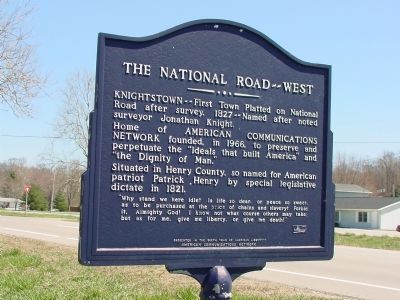
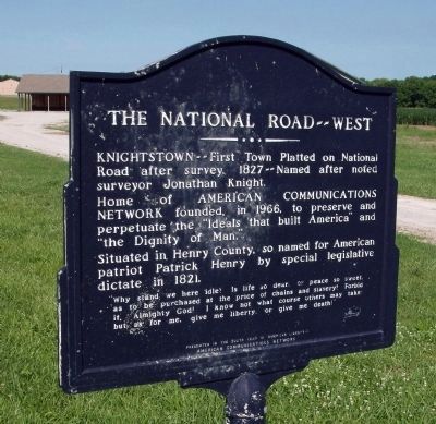
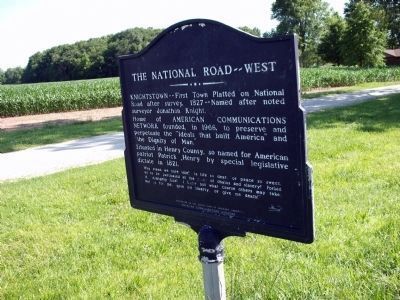
The National Road — West
Home of American Communications Network founded, in 1966, to preserve and perpetuate the “Ideals that built America” and “the Dignity of Man.”
Situated in Henry County, so named for American patriot Patrick Henry by special legislative dictate in 1821.
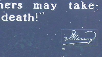
Why stand here idle! Is life so dear, or peace so sweet, as to be purchased at the price of chains and slavery! Forbid it, Almighty God! I know what course others may take; but as for me, give me liberty, or give me death! —Patrick Henry
Presented in the 200th year of American liberty
Erected 1976 by American Communications Network.
Topics and series. This historical marker is listed in these topic lists: Patriots & Patriotism • Political Subdivisions. In addition, it is included in the The Historic National Road series list. A significant historical year for this entry is 1966.
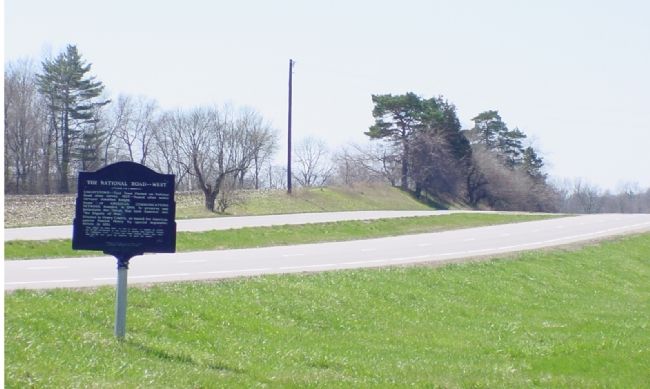
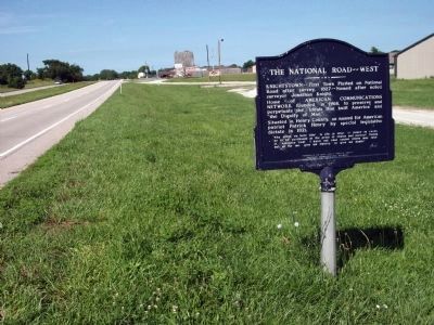
Location. Marker has been reported missing. It was located near 39° 48.04′ N, 85° 30.55′ W. Marker was near Knightstown, Indiana, in Henry County. Marker was on National Road (U.S. 40) west of West Street, on the right when traveling west. Marker is just east of town. THE MARKER IS NO LONGER THERE. It was removed sometime in 2018 according to two individuals living across the street from where it used to be. There is a large sunken area where it used to be. Touch for map. Marker was in this post office area: Knightstown IN 46148, United States of America. Touch for directions.
Other nearby markers. At least 8 other markers are within 2 miles of this location, measured as the crow flies. Knightstown Academy (approx. 0.8 miles away); Veterans Garden of Memories (approx. 0.9 miles away); Pvt. William Zion USMC (approx. 0.9 miles away); Site of First House in Knightstown (approx. 0.9 miles away); A Gargantuan Undertaking (approx. 0.9 miles away); Revolutionary Soldiers of Henry County (approx. one mile away); Glen Cove IOOF Cemetery (approx. 1.3 miles away); Knightstown Community Veterans Memorial (approx. 1.3 miles away). Touch for a list and map of all markers in Knightstown.
More about this marker. From the March 1976 The American Record — A Brian Bex Report newsletter: “The American Communications Network [is a] non-political, not-profit educational champion of private property, the free market, the profit and loss system, and limited government”. Brian Bex founded the American Communications Network.
Also see . . .
1. Knightstown, Indiana
. Wikipedia entry (Submitted on November 15, 2020, by Larry Gertner of New York, New York.)
2. National Road. Wikipedia entry. (Submitted on November 15, 2020, by Larry Gertner of New York, New York.)
Credits. This page was last revised on November 15, 2020. It was originally submitted on April 18, 2006, by J. J. Prats of Powell, Ohio. This page has been viewed 2,567 times since then and 14 times this year. Last updated on September 8, 2019, by W. O. Stark of Indianapolis, Indiana. Photos: 1, 2, 3. submitted on April 18, 2006, by J. J. Prats of Powell, Ohio. 4, 5, 6. submitted on June 25, 2010, by Al Wolf of Veedersburg, Indiana. • Andrew Ruppenstein was the editor who published this page.
