Near Sonoita in Santa Cruz County, Arizona — The American Mountains (Southwest)
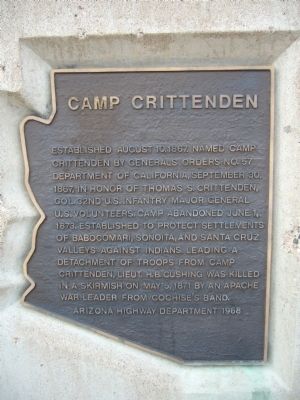
Camp Crittenden
Erected 1968 by Arizona Highway Department.
Topics. This historical marker is listed in these topic lists: Military • Wars, US Indian. A significant historical month for this entry is May 1952.
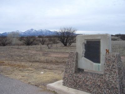
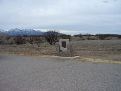
Location. 31° 39.522′ N, 110° 41.826′ W. Marker is near Sonoita, Arizona, in Santa Cruz County. Marker is on Arizona Route 82 at milepost 29.5, on the right when traveling west. Touch for map. Marker is in this post office area: Sonoita AZ 85637, United States of America. Touch for directions.
Other nearby markers. At least 8 other markers are within 11 miles of this marker, measured as the crow flies. Sonoita Quarter Horse Show and Races (approx. 2.7 miles away); Mowry Mine (approx. 8.8 miles away); Patagonia Depot (approx. 8.8 miles away); Cady Hall (approx. 8.9 miles away); Historic Empire Ranch (approx. 9.4 miles away); Hired Man’s House – Who Lived Here?/Historic Preservation of the Hired Man’s House (approx. 9.4 miles away); Home for Ranch Families (approx. 9˝ miles away); Boy Scout Memorial (approx. 11 miles away).
Additional commentary.
1. Camp Crittenden (1867-1873)
Named for Colonel Thomas L. Crittenden, who commanded the 32nd Infantry at the battles of Shiloh, Stone River, and Chickamauga during the Civil War, the fort was established on August 10, 1867. Located at the head of Davidson Canyon, just west of present-day Sonoita, Arizona, Camp Crittenden was built adjacent to the site of Fort Buchanan. The purpose of the fort was to protect settlers in the Babocomar, Sonoita, and Santa Cruz Valleys, and saw much action during the Apache Wars especially between the years 1870 and 1871. The fort was closed on June 1, 1873. Very little remains of this post; mostly crumbling adobe and mounds of earth that were once barracks walls. It is located on private land in Santa Cruz County, Arizona.
Source: Legends of America – Arizona Forts of the American West http://www.legendsofamerica.com/az-forts.html#Camp%20Crittenden
— Submitted February 3, 2010.
Credits. This page was last revised on August 30, 2020. It was originally submitted on February 2, 2010, by Bill Kirchner of Tucson, Arizona. This page has been viewed 2,535 times since then and 106 times this year. Photos: 1, 2, 3. submitted on February 2, 2010, by Bill Kirchner of Tucson, Arizona. • Syd Whittle was the editor who published this page.


