Near Tubac in Santa Cruz County, Arizona — The American Mountains (Southwest)
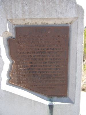
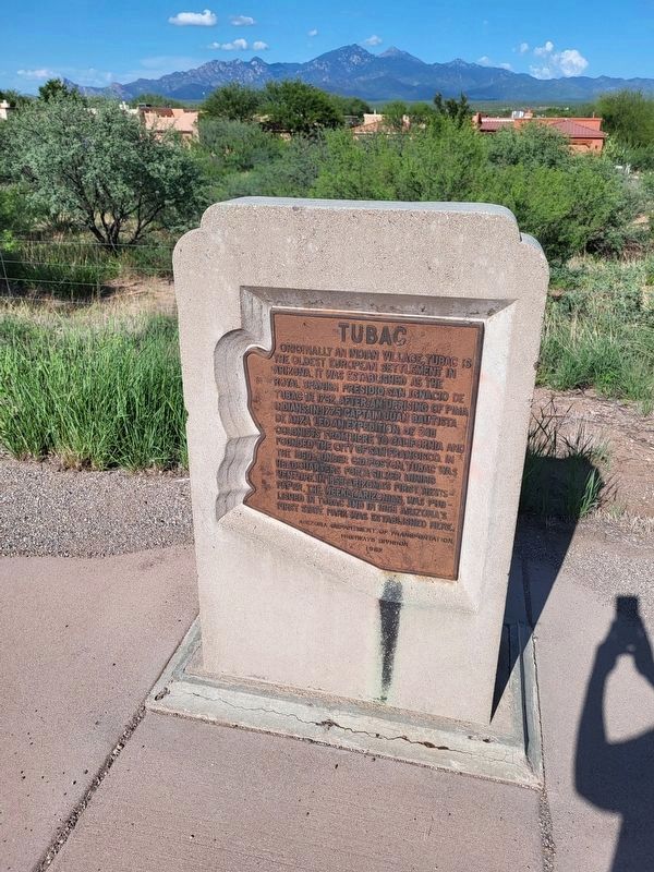
Tubac
Erected 1982 by Arizona Department of Transportation Highways Division.
Topics and series. This historical marker is listed in these topic lists: Forts and Castles • Notable Places • Settlements & Settlers. In addition, it is included in the Juan Bautista de Anza National Historic Trail series list. A significant historical year for this entry is 1752.
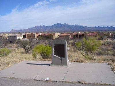
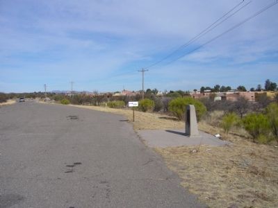
Location. 31° 36.479′ N, 111° 2.965′ W. Marker is near Tubac, Arizona, in Santa Cruz County. The marker is just north of exit 34 on the east frontage road of I-19. Note: exits on I-19 are marked in kilometers. Touch for map. Marker is in this post office area: Tubac AZ 85646, United States of America. Touch for directions.
Other nearby markers. At least 8 other markers are within 3 miles of this marker, measured as the crow flies. Juan Bautista de Anza (approx. 0.3 miles away); Charles Debrille Poston (approx. 0.3 miles away); Presidio of Tubac (approx. 0.3 miles away); Baca Float Number 3 (approx. 0.3 miles away); Tubac Presidio (approx. 0.3 miles away); Churches in Tubac (approx. 0.3 miles away); Tubac Schools (approx. 0.3 miles away); Mission San José de Tumacácori (approx. 2.8 miles away). Touch for a list and map of all markers in Tubac.
Also see . . . Tubac Presidio State Park. The website of the state historic park gives details and history of the area as well as notifying the public that the park is due to close on March 29, 2010 due to budget issues. (Submitted on February 3, 2010.)
Credits. This page was last revised on February 12, 2023. It was originally submitted on February 2, 2010, by Bill Kirchner of Tucson, Arizona. This page has been viewed 1,179 times since then and 34 times this year. Photos: 1. submitted on February 2, 2010, by Bill Kirchner of Tucson, Arizona. 2. submitted on February 11, 2023, by Audelis Hernandez Zoref of Tucson, Arizona. 3, 4. submitted on February 2, 2010, by Bill Kirchner of Tucson, Arizona. • Syd Whittle was the editor who published this page.


