Sandyston Township in Sussex County, New Jersey — The American Northeast (Mid-Atlantic)
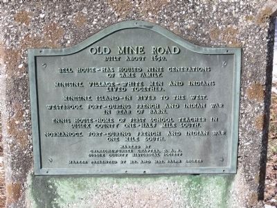
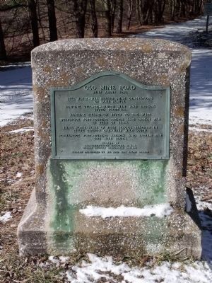
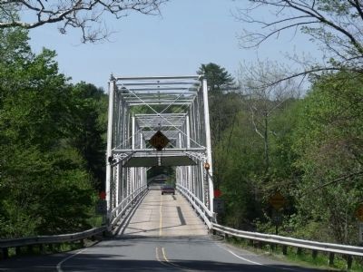
Old Mine Road
Built about 1650.
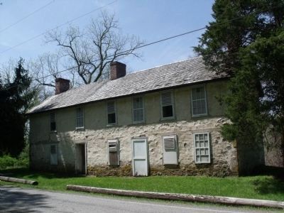
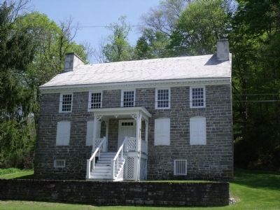
Bell House – has housed nine generations of same family.
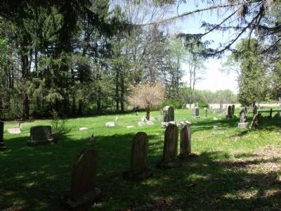
Minisink Village – white men and Indians lived together.
Minisink Island – in river to the west.
Westbrook Fort – during French and Indian War in rear of barn.
Ennis House – Home of first school teacher in Sussex County one-half mile south.
Normanock Fort – During French and Indian War one mile south.
Erected by Chinkchewunski Chapter, Daughters of the American Revolution, Sussex County Historical Society, and Mr. and Mrs. Ralph Decker.
Topics and series. This historical marker is listed in these topic lists: Colonial Era • Forts and Castles • Native Americans • Settlements & Settlers • War, French and Indian. In addition, it is included in the Daughters of the American Revolution series list. A significant historical year for this entry is 1650.
Location. 41° 16.552′ N, 74° 49.365′ W. Marker is near Sandyston, New Jersey, in Sussex County. It is in Sandyston Township. Marker is on Old Mine Road. Touch for map. Marker is in this post office area: Branchville NJ 07826, United States of America. Touch for directions.
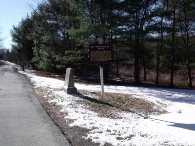
Other nearby markers. At least 8 other markers are within 4 miles of this marker, measured as the crow flies. The Westbrook - Bell House (here, next to this marker); Wyoming-Minisink Path (approx. one mile away in Pennsylvania); Hainesville, New Jersey (approx. 2 miles away); Brick House Village (approx. 2.3 miles away); Pennsylvania (approx. 2.7 miles away in Pennsylvania); Benjamin Alden Bidlack (approx. 2.9 miles away in Pennsylvania); Gifford Pinchot (approx. 2.9 miles away in Pennsylvania); Metz Ice Plant c. 1869 (approx. 3.1 miles away in Pennsylvania). Touch for a list and map of all markers in Sandyston.
More about this marker. The D.A.R. Chapter is mispelled on the marker. The correct spelling is Chinkchewunska, a name that originates from a Native American word meaning “hilltop town” or “town on the side of a hill.”
Credits. This page was last revised on August 27, 2023. It was originally submitted on February 8, 2010, by Cheryl (Rome) Thom of Newton, New Jersey. This page has been viewed 2,480 times since then and 34 times this year. Photos: 1, 2, 3. submitted on February 4, 2010, by Cheryl (Rome) Thom of Newton, New Jersey. 4, 5, 6, 7, 8. submitted on May 13, 2010, by Cheryl (Rome) Thom of Newton, New Jersey. • Kevin W. was the editor who published this page.
