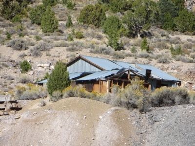
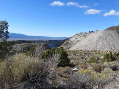
Near Ely in White Pine County, Nevada — The American Mountains (Southwest)
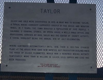
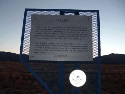
Taylor
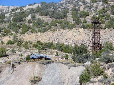
Mining continued intermittently until 1919, then a 100-ton cyanide plant at the Argus Mine gave new impetus, but production declined when the price of silver plummeted. World War II renewed mining activity temporarily. More then $1 million in silver, gold, copper and lead had been produced.
Erected by Nevada State Park System White Pine Public Museum, Incorporated. (Marker Number 99.)
Topics. This historical marker is listed in this topic list: Industry & Commerce. A significant historical year for this entry is 1873.
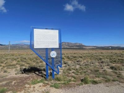
Location. 39° 5.334′ N, 114° 45.165′ W. Marker is near Ely, Nevada, in White Pine County. Marker is on U.S. 6/50/93 near White Pine County Road 19, on the right when traveling south. Marker is about 12 miles south of Ely. Touch for map. Marker is in this post office area: Ely NV 89301, United States of America. Touch for directions.
Other nearby markers. At least 8 other markers are within 14 miles of this marker, measured as the crow flies. Ward Mining District (a few steps from this marker); The Ward Cemetery (approx. 5.2 miles away); Ward Charcoal Ovens (approx. 6.2 miles away); Making Charcoal (approx. 6.2 miles away); a different marker also named Ward Charcoal Ovens (approx. 6.2 miles away); Nevada Northern Railway (approx. 13.2 miles away); Ely - Forging the Link (approx. 13.3 miles away); U.S. Post Office Ely, Nevada - 1937 (approx. 13.3 miles away). Touch for a list and map of all markers in Ely.
More about this marker. Marker shares the same location as Ward Mining District marker. One on each side of the pullout.
Also see . . .
1. Ghost Towns - Taylor, Nevada. A short article on the history of Taylor. (Submitted on February 9, 2010.)
2. New Amended Text for Marker. The Nevada State Historic Preservation Office (SHPO) recently updated the text of the roughly 260 state historical markers in Nevada. The Nevada SHPO placed the amended text of each individual marker on its website and will change the actual markers in the field as funding allows. Minor changes have been made to the marker for grammar and readability. The link will take you to the Nevada SHPO page for the marker with the amended text. (Submitted on November 12, 2013, by Duane Hall of Abilene, Texas.)
Additional keywords. Mining
Credits. This page was last revised on June 16, 2016. It was originally submitted on February 8, 2010, by Bill Kirchner of Tucson, Arizona. This page has been viewed 1,119 times since then and 13 times this year. Photos: 1, 2. submitted on February 8, 2010, by Bill Kirchner of Tucson, Arizona. 3, 4, 5, 6. submitted on October 19, 2013, by Bill Kirchner of Tucson, Arizona. • Syd Whittle was the editor who published this page.
