Patterson in Stanislaus County, California — The American West (Pacific Coastal)
Rancho del Puerto
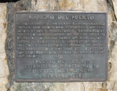
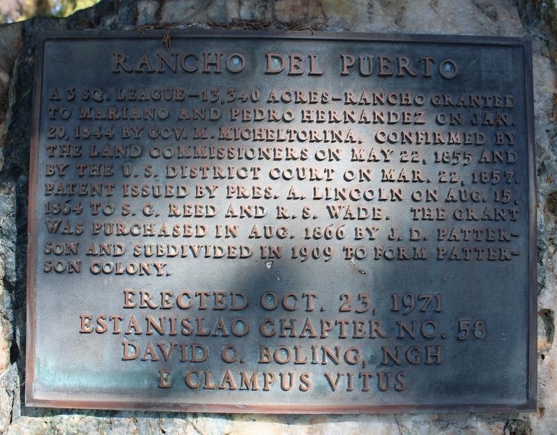
A 3 Sq. League - 13,340 acres - Rancho granted to Mariano and Pedro Hernandez on Jan. 20, 1844 by Gov. M. Micheltorina. Confirmed by the Land Commissioners on May 22, 1855 and by the U.S. District Court on Mar. 22, 1857. Patent issued by Pres. A. Lincoln on Aug. 15, 1864 to S. G. Reed and R. S. Wade. The grant was purchased in 1866 by J. D. Patterson and subdivided in 1909 to form Patterson Colony.
Erected Oct. 23, 1971
Estanislao Chapter No. 58
David C. Boling, NGH
E Clampus Vitus
Erected 1971 by Estanislao Chapter No. 58, E Clampus Vitus.
Topics and series. This historical marker is listed in this topic list: Settlements & Settlers. In addition, it is included in the E Clampus Vitus series list. A significant historical month for this entry is May 1899.
Location. 37° 28.311′ N, 121° 7.795′ W. Marker is in Patterson, California, in Stanislaus County. Marker is at the intersection of West Las Palmas Avenue and Plaza Circle on West Las Palmas Avenue. Touch for map. Marker is in this post office area: Patterson CA 95363, United States of America. Touch for directions.
Other nearby markers. At least 8 other markers are within 12 miles of this marker, measured as the crow flies. Jack Patterson (within shouting distance of this marker); Patterson's Westside Bell (within shouting distance of this marker); Patterson War Memorial (within shouting distance of this marker); William "Bill" Logan (within shouting distance of this marker); Hotel Del Puerto (about 300 feet away, measured in a direct line); Laird Park (approx. 6.3 miles away); Adamsville (approx. 8.3 miles away); Hills Ferry (approx. 11.9 miles away). Touch for a list and map of all markers in Patterson.
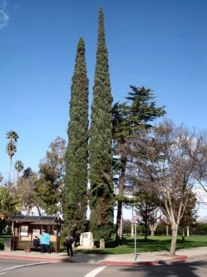
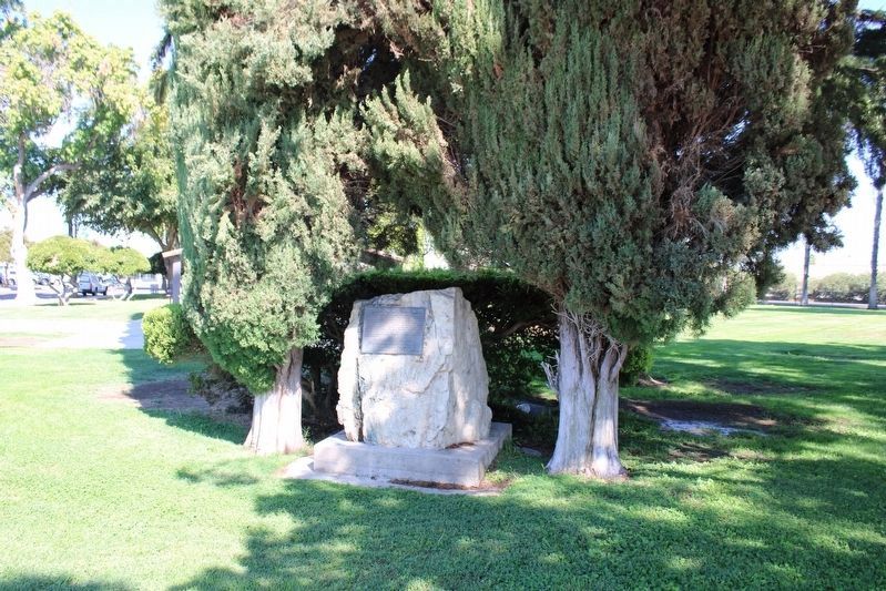
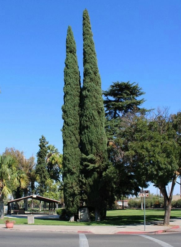
More about this marker. The marker is mounted on a rock monument at the southern tip of North Park, in the middle of Patterson, where Las Palmas Avenue, Salado Avenue, Del Puerto Avenue and 3rd Street all converge in a circle.
Also see . . . Rancho del Puerto. The Patterson Historical Society's telling of the founding of Patterson: "The history of the community of Patterson began with the measuring out of the Rancho Del Puerto and the subsequent grant of the land to the brothers Mariano and Pedro Hernandez on January 20, 1844 , by Manuel Micheltoreno, Governor of the Californias . This original Mexican Land Grant was for acreage stretching east of the present Highway 33 to the San Joaquin River . The northern boundary was Del Puerto Creek and the southern boundary was just south of Marshall Road.
Samuel G. Reed and Ruben S. Wade made claim to the land on January 7, 1855 . A patent encompassing the land grant was signed by President Abraham Lincoln. Reed and Wade received title to 13,340 acres on August 15, 1864 . They sold the grant to J.O. Eldredge on June 18, 1866 , for $5,000. He held the title two months before selling it to John D. Patterson on August 14, 1866 for $5,400."
Wikipedia replacement for thsi broken link. (Submitted on February 9, 2010.)
Credits. This page was last revised on November 29, 2022. It was originally submitted on February 9, 2010, by Andrew Ruppenstein of Lamorinda, California. This page has been viewed 905 times since then and 19 times this year. Photos: 1. submitted on February 9, 2010, by Andrew Ruppenstein of Lamorinda, California. 2. submitted on October 23, 2022, by Joseph Alvarado of Livermore, California. 3. submitted on February 9, 2010, by Andrew Ruppenstein of Lamorinda, California. 4, 5. submitted on October 23, 2022, by Joseph Alvarado of Livermore, California. • Syd Whittle was the editor who published this page.
