Millwood in Sumter County, South Carolina — The American South (South Atlantic)
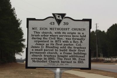
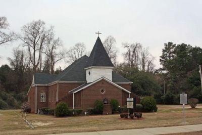
Mt. Zion Methodist Church
This church, with its origin in a brush arbor where services were held during the Civil War, was formally organized in 1873 with a Rev. B. James as its first pastor. Col. James D. Blanding sold the trustees a small parcel to build their first permanent church, a frame building; church trustees bought additional acreage in 1883. The first Mt. Zion Methodist Church burned in 1913.
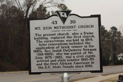
(Reverse text)
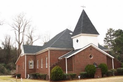
The present church, also a frame building, replaced the first church. The cornerstone was laid in 1914; later renovations included the application of brick veneer in the 1980s. Rev. Isaiah DeQuincey Newman (1911-1985), who was pastor of Mt. Zion 1975-1982, was a civil rights activist and state senator 1983-85 and the first African American in the S.C. State Senate since 1886.
Erected 2008 by The Sumter County Historical Commission. (Marker Number 43-39.)
Topics. This historical marker is listed in this topic list: Churches & Religion. A significant historical year for this entry is 1873.
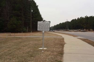
Location. 33° 55.145′ N, 80° 23.591′ W. Marker is in Millwood, South Carolina, in Sumter County. Marker is on Loring Mill Road (State Highway 204), on the left when traveling north. Located north of Desmond Drive. Touch for map. Marker is at or near this postal address: 130 Loring Mill Road, Sumter SC 29154, United States of America. Touch for directions.
Other nearby markers. At least 8 other markers are within 3 miles of this marker, measured as the crow flies. Green Swamp Methodist Church (approx. 1.2 miles away); St. James Lutheran Church (approx. 1.8 miles away); Sumter's Memorial To Its Brave Soldiers (approx. 2.3 miles away); Lincoln High School (approx. 2.7 miles away); Mount Pisgah African Methodist Episcopal Church (approx. 2.7 miles away); Trinity United Methodist Church (approx. 2.7 miles away); Temple Sinai (approx. 2.7 miles away); Holocaust (approx. 2.7 miles away).
Credits. This page was last revised on June 16, 2016. It was originally submitted on February 9, 2010, by Mike Stroud of Bluffton, South Carolina. This page has been viewed 1,010 times since then and 27 times this year. Photos: 1, 2, 3, 4, 5. submitted on February 9, 2010, by Mike Stroud of Bluffton, South Carolina. • Craig Swain was the editor who published this page.
