Goose Creek in Berkeley County, South Carolina — The American South (South Atlantic)
Early Indian Trading Paths / The Goose Creek Men
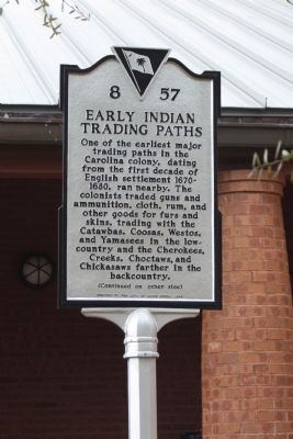
One of the earliest major trading paths in the Carolina colony, dating from the first decade of English settlement 1670-1680, ran nearby. The colonists traded guns and ammunition, cloth, rum, and other goods for furs and skins, trading with the Catawbas, Coosas, Westos, and Yamasees in the lowcountry and the Cherokees, Creeks, Choctaws, and Chickasaws farther in the backcountry.
The Goose Creek Men
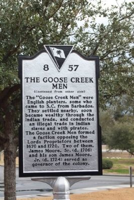
The “Goose Creek Men” were English planters, some who came to S.C. from Barbados. They settled nearby, soon became wealthy through the Indian trade, and conducted an illegal trade in Indian slaves and with pirates. The Goose Creek Men formed a faction opposing the Lords Proprietors between 1670 and 1720. Two of them, James Moore, Sr. (d. 1706) and his son James Moore, Jr. (d. 1724) served as governor of the colony.
Erected 2008 by The City of Goose Creek. (Marker Number 8-57.)
Topics. This historical marker is listed in these topic lists: Colonial Era • Native Americans • Settlements & Settlers. A significant historical year for this entry is 1670.
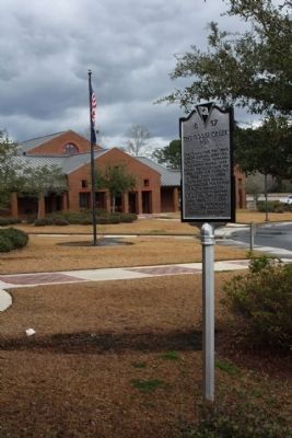
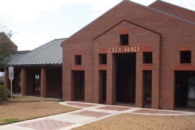
Location. 33° 1.664′ N, 80° 2.132′ W. Marker is in Goose Creek, South Carolina, in Berkeley County. Marker can be reached from North Goose Creek Boulevard (U.S. 52) when traveling south. Located at the Goose Creek Municipal Center, City Hall, and Police Station. Touch for map. Marker is at or near this postal address: 519 North Goose Creek Boulevard, Goose Creek SC 29445, United States of America. Touch for directions.
Other nearby markers. At least 8 other markers are within 2 miles of this marker, measured as the crow flies. Mount Holly Station • Mount Holly (about 500 feet away, measured in a direct line); Springfield Plantation (approx. 0.6 miles away); Medway Plantation (approx. 0.7 miles away); Casey (Caice) (approx. 0.7 miles away); Thorogood Plantation / Mount Holly Plantation (approx. ¾ mile away); Button Hall (approx. 1.7 miles away); Eighteen Mile House Tavern (approx. 1.8 miles away); Goose Creek / City of Goose Creek (approx. 2 miles away). Touch for a list and map of all markers in Goose Creek.
Credits. This page was last revised on June 16, 2016. It was originally submitted on February 10, 2010, by Mike Stroud of Bluffton, South Carolina. This page has been viewed 4,408 times since then and 208 times this year. Photos: 1, 2, 3, 4. submitted on February 10, 2010, by Mike Stroud of Bluffton, South Carolina. • Craig Swain was the editor who published this page.


