Mesa in Maricopa County, Arizona — The American Mountains (Southwest)
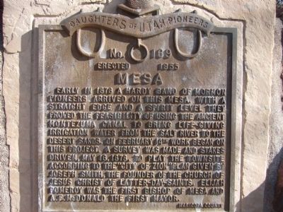
Mesa
Erected 1955 by Daughters of Utah Pioneers. (Marker Number 169.)
Topics and series. This historical marker is listed in these topic lists: Notable Places • Settlements & Settlers. In addition, it is included in the Daughters of Utah Pioneers series list. A significant historical date for this entry is February 14, 1878.
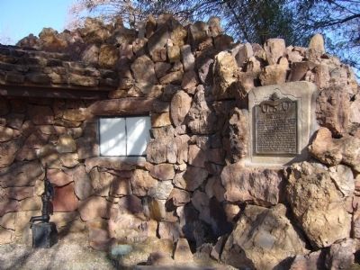
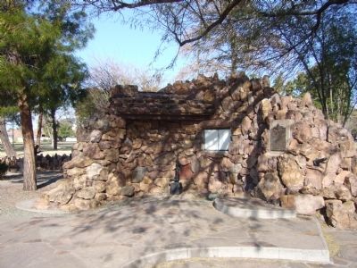
Location. 33° 24.952′ N, 111° 49.173′ W. Marker is in Mesa, Arizona, in Maricopa County. Marker can be reached from East Main Street. Marker is located at Pioneer Park between North Leseuer Street and North Hobson Street. Touch for map. Marker is at or near this postal address: 526 East Main Street, Mesa AZ 85204, United States of America. Touch for directions.
Other nearby markers. At least 8 other markers are within walking distance of this marker. Arizona's Honeymoon Trail (a few steps from this marker); Mesa Pioneer Monument (within shouting distance of this marker); Sirrine House (approx. ¾ mile away); The Alhambra Hotel (approx. 0.8 miles away); Zenos Co-Op (approx. 0.9 miles away); Mesa Woman's Club House (approx. 0.9 miles away); Pomeroy Building (approx. 0.9 miles away); Wayne C. Pomeroy (approx. 0.9 miles away). Touch for a list and map of all markers in Mesa.
Also see . . . A Wikipedia Article on the history of Mesa, Arizona. (Submitted on February 15, 2010.)
Credits. This page was last revised on June 16, 2016. It was originally submitted on February 15, 2010, by Bill Kirchner of Tucson, Arizona. This page has been viewed 1,407 times since then and 27 times this year. Photos: 1, 2, 3. submitted on February 15, 2010, by Bill Kirchner of Tucson, Arizona. • Syd Whittle was the editor who published this page.


