Marble Falls in Burnet County, Texas — The American South (West South Central)
Marble Falls Depot
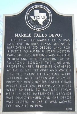
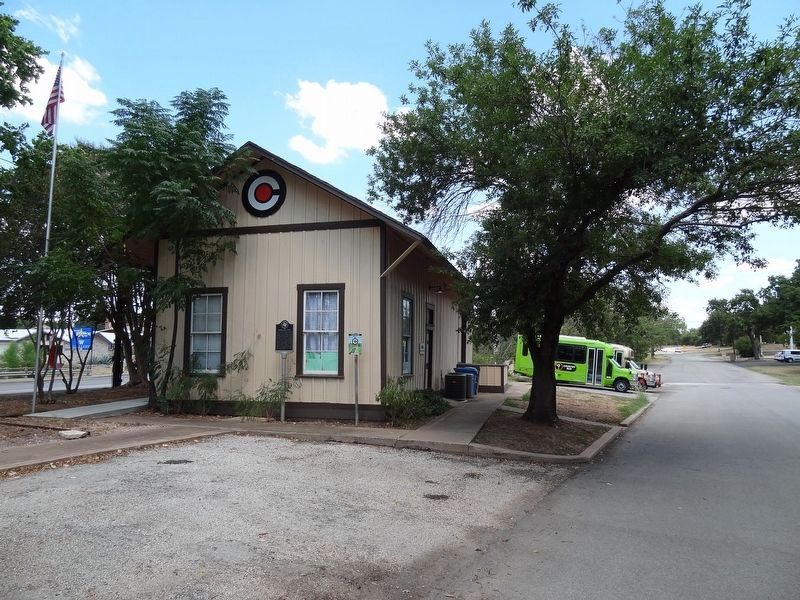
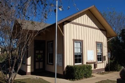
The town of Marble Falls was laid out in 1887. Texas Mining & Improvement Co. deeded land for a depot to Austin & Northwestern Railroad. This building was erected in 1893 and then Southern Pacific Railroad bought the line and property. Area residents gathered at the depot to visit and watch for the train. Excursions were offered and passenger service provided. Hogs, horses, cattle, cedar posts, cotton, pecans, and hides were shipped to market from here. In 1937 passenger service was discontinued and the depot was closed in 1968. It was moved to this site in 1976.
Erected 1979 by Texas Historical Commission. (Marker Number 9729.)
Topics. This historical marker is listed in these topic lists: Notable Buildings • Railroads & Streetcars. A significant historical year for this entry is 1887.
Location. 30° 34.592′ N, 98° 16.378′ W. Marker is in Marble Falls, Texas, in Burnet County. Marker is on US-281 close to Broadway St., on the right when traveling north. Between US 281 & Ave H. Touch for map. Marker is in this post office area: Marble Falls TX 78654, United States of America. Touch for directions.
Other nearby markers. At least 8 other markers are within walking distance of this marker. Governor O. M. Roberts' House (about 600 feet away, measured in a direct line); Hoag-Faubion-Fuchs House (about 800 feet away); Christian-Matern House (approx. 0.2 miles away); Otto Ebeling House (approx. ¼ mile away); The Roper Hotel (approx. 0.4 miles away); Jim Lovell (approx. 0.4 miles away); Michel's Drug Store (approx. 0.4 miles away); 1910 Post Office Building (approx. half a mile away). Touch for a list and map of all markers in Marble Falls.
Credits. This page was last revised on November 25, 2020. It was originally submitted on February 16, 2010, by Keith Peterson of Cedar Park, Texas. This page has been viewed 968 times since then and 41 times this year. Photos: 1. submitted on February 16, 2010, by Keith Peterson of Cedar Park, Texas. 2. submitted on September 22, 2019, by Keith Peterson of Cedar Park, Texas. 3. submitted on February 16, 2010, by Keith Peterson of Cedar Park, Texas. • Bill Pfingsten was the editor who published this page.


