Currituck in Currituck County, North Carolina — The American South (South Atlantic)
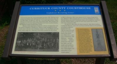
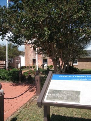
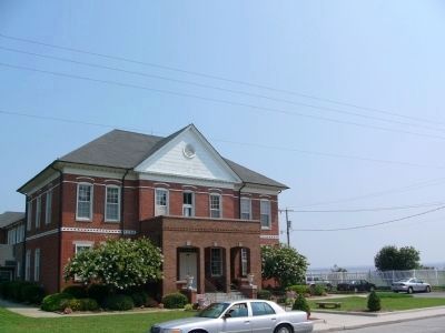
Currituck County Courthouse
Confederate Recruiting Center
Because of the importance of water for military transportation and the county’s closeness to Norfolk, VA., Federal troops occupied Currituck County early in the war and sometimes camped on the courthouse grounds. Union troops under Gen Ambrose E. Burnside marched into the county in 1862. In December 1863, three columns of U.S. Colored Troops led by Gen. Edward A. Wild converged here on a raid from Elizabeth City. They liberated slaves, destroyed Confederate camps, and occupied the courthouse grounds. Federal Soldiers carried off many early county court records; some were returned in 1976.
On July 23, 1903, Henry M. Shaw Camp No. 1304 , North Carolina Confederate Veterans, met at the courthouse and had dinner on the grounds. According to Adjutant General J.B. Lee, “By 12 o’clock the yard of the court house and those of the hotels were filled with a solid mass of humanity. Old Veterans; ... parents with their ... children; young men with their best girls; and old maids and batchelors [sic[ made the crowd one of the largest ever assembled in Currituck county.”
[right sidebar):
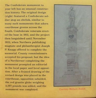
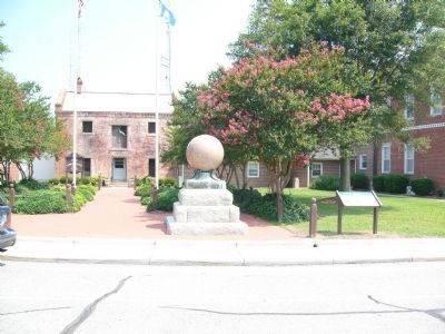
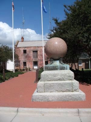
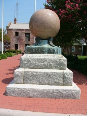
The Confederate monument to your left has an unusual construction history. The original design (right) featured a Confederate soldier atop an obelisk, similar to many such monuments that adorn courthouse greens across the South. Confederate veterans erected the base in 1912, and the project then languished until November 1922, when Northern publishing magnate and philanthropist Joseph P. Knapp offered to complete the memorial. County commissioners accepted his proposal, but the idea of a Northerner completing the monument prompted an editorial in the local paper and local opposition. After a framed drawing of the revised design was placed in the courthouse, opposition subsided, the red granite globe weighing 2,397 pounds was added, and the monument was completed.
[The picture of the original design was provided for use on the marker courtesy of William Romm.]
Erected by Civil War Trails.
Topics and series. This historical marker is listed in these topic lists: African Americans • Notable Buildings • Notable Events. In addition, it is included in the North Carolina Civil War Trails series list. A significant historical month for this entry is March 1772.
Location. 36° 26.986′ N, 76° 0.955′ W. Marker is in Currituck, North Carolina, in Currituck County. Marker is on Courthouse Road (State Highway 1242) near Caratoke Highway (State Highway 168), on the right when traveling north. Touch for map. Marker is in this post office area: Currituck NC 27929, United States of America. Touch for directions.
Other nearby markers. At least 8 other markers are within 8 miles of this marker, measured as the crow flies. Currituck County Old Jail (here, next to this marker); Joseph Pilmoor (approx. ¼ mile away); Hijacking Maple Leaf (approx. 2.6 miles away); Henry M. Shaw (approx. 5.3 miles away); Yeopim (approx. 6.3 miles away); McKnight’s Shipyard (approx. 6.4 miles away); Knotts Island (approx. 6.7 miles away); Indiantown (approx. 7.6 miles away).
Credits. This page was last revised on June 16, 2016. It was originally submitted on October 1, 2007, by Laura Troy of Burke, Virginia. This page has been viewed 2,521 times since then and 42 times this year. Photos: 1, 2. submitted on July 23, 2008, by Kevin W. of Stafford, Virginia. 3. submitted on October 1, 2007, by Laura Troy of Burke, Virginia. 4, 5. submitted on July 23, 2008, by Kevin W. of Stafford, Virginia. 6. submitted on October 1, 2007, by Laura Troy of Burke, Virginia. 7. submitted on July 23, 2008, by Kevin W. of Stafford, Virginia. • J. J. Prats was the editor who published this page.
