Near Fort McDowell in Maricopa County, Arizona — The American Mountains (Southwest)
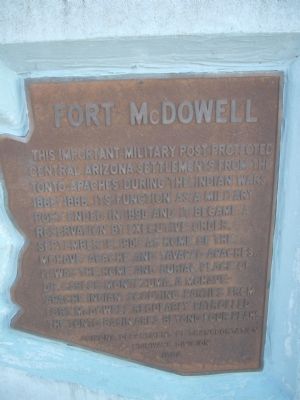
Fort McDowell
Erected 1982 by Arizona Department of Transportation Highway Division.
Topics. This historical marker is listed in these topic lists: Forts and Castles • Military • Wars, US Indian. A significant historical date for this entry is September 15, 1909.
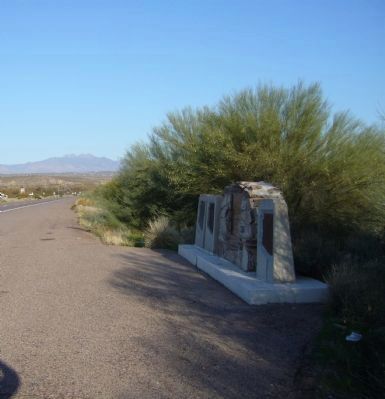
Location. 33° 34.705′ N, 111° 41.019′ W. Marker is near Fort McDowell, Arizona, in Maricopa County. Marker is on Beeline Highway (Arizona Route 87) near North Fort McDowell Road, on the right when traveling north. Touch for map. Marker is in this post office area: Fort McDowell AZ 85264, United States of America. Touch for directions.
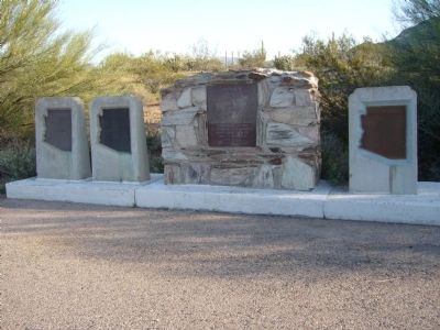
Other nearby markers. At least 8 other markers are within 10 miles of this marker, measured as the crow flies. Grave of Dr. Carlos Montezuma (here, next to this marker); Camp Reno (here, next to this marker); Per Ardua Ad Astra (approx. 9 miles away); Falcon Field (approx. 9 miles away); A Tribute to the B-29 Super Fortress "FIFI" (approx. 9.2 miles away); 3-Inch Mark 33 Deck Gun (approx. 9.2 miles away); Major Gen Carl G. Schneider, USAF (Ret) (approx. 9.2 miles away); 1st Lieutenant Ralph Ambrose O’Neill (approx. 9.2 miles away). Touch for a list and map of all markers in Fort McDowell.
Also see . . . Fort McDowell – In the Midst of the Apache Wars. Fort McDowell was established by the California Volunteers on the west bank of the Verde River in September, 1865. (Submitted on February 21, 2010.)
Credits. This page was last revised on June 16, 2016. It was originally submitted on February 18, 2010, by Bill Kirchner of Tucson, Arizona. This page has been viewed 1,673 times since then and 25 times this year. Photos: 1, 2, 3. submitted on February 18, 2010, by Bill Kirchner of Tucson, Arizona. • Syd Whittle was the editor who published this page.


