Oatmeal in Burnet County, Texas — The American South (West South Central)
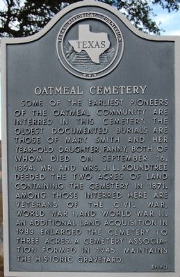
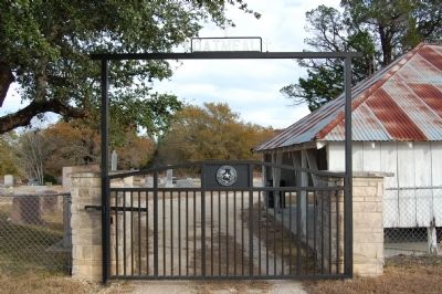
Oatmeal Cemetery
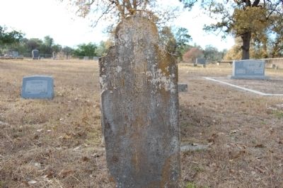
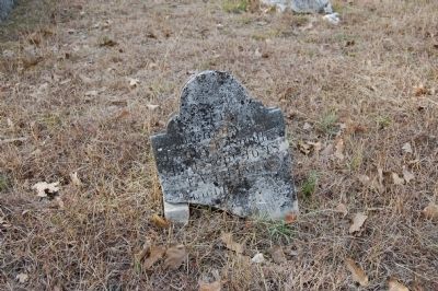
Some of the earliest pioneers of the Oatmeal community are interred in this cemetery. The oldest documented burials are those of Mary Smith and her year-old daughter, Fanny, both of whom died on September 16, 1854. Mr. and Mrs. J. L. Roundtree deeded the two acres of land containing the cemetery in 1871. Among those interred here are veterans of the Civil War, World War I, and World War II. An additional land acquisition in 1983 enlarged the cemetery to three acres. A cemetery association formed in 1945 maintains the historic graveyard.
Erected 1990 by Texas Historical Commission. (Marker Number 9737.)
Topics. This historical marker is listed in this topic list: Cemeteries & Burial Sites. A significant historical month for this entry is September 1672.
Location. 30° 41.78′ N, 98° 4.935′ W. Marker is in Oatmeal, Texas, in Burnet County. Marker can be reached from Oatmeal Cemetery Road just east of FM-243, on the right. Touch for map. Marker is in this post office area: Bertram TX 78605, United States of America. Touch for directions.
Other nearby markers. At least 8 other markers are within 4 miles of this marker, measured as the crow flies. Early Oatmeal School (approx. ¼ mile away); Mount Zion Cemetery (approx. 2.8 miles away); The Village of South Gabriel (approx. 2.9 miles away); The Bryson Place (approx. 3.3 miles away); J.V. "Pinky" Wilson (approx. 3.7 miles away); Bertram (approx. 3.7 miles away); The City of Bertram (approx. 3.7 miles away); Bertram Depot (approx. 3.7 miles away).
Credits. This page was last revised on November 25, 2020. It was originally submitted on February 18, 2010, by Keith Peterson of Cedar Park, Texas. This page has been viewed 903 times since then and 37 times this year. Photos: 1, 2, 3, 4. submitted on February 18, 2010, by Keith Peterson of Cedar Park, Texas. • Bill Pfingsten was the editor who published this page.


