Near Burnet in Burnet County, Texas — The American South (West South Central)
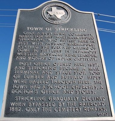
Site of Town of Strickling
Post office opened here, 1857, and Strickling became a mail terminal and stage stop. Tons of lumber and buffalo hides were hauled through here. The town had a school, churches, a doctor’s office, and stores.
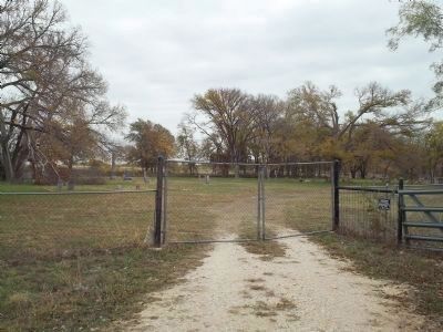
Strickling gradually declined when bypassed by the railroad, 1882. Only the cemetery remains.
Erected 1970 by the State Historical Survey Committee. (Marker Number 9750.)
Topics. This historical marker is listed in this topic list: Settlements & Settlers. A significant historical year for this entry is 1853.
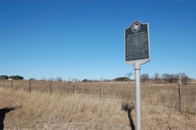
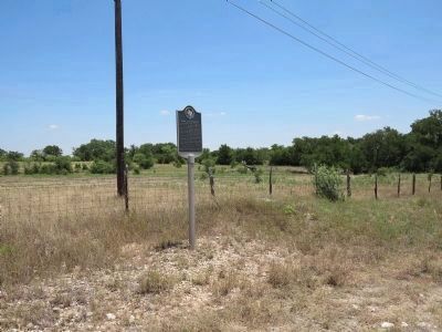
Location. 30° 50.654′ N, 98° 5.906′ W. Marker is near Burnet, Texas, in Burnet County. Marker is on FM-1174 close to CR-210A, on the right when traveling north. Touch for map. Marker is in this post office area: Burnet TX 78611, United States of America. Touch for directions.
Other nearby markers. At least 8 other markers are within 8 miles of this marker, measured as the crow flies. Black's Fort (approx. 1.3 miles away); Shady Grove Community (approx. 2.1 miles away); Bethel Cemetery (approx. 4 miles away); Joppa Community (approx. 4.2 miles away); Russell Fork Iron Truss Bridge (approx. 4.9 miles away); Joppa Iron Truss Bridge (approx. 4.9 miles away); Bertram (approx. 7.1 miles away); Lake Victor Lodge No. 1011, A. F. & A. M. (approx. 7.2 miles away). Touch for a list and map of all markers in Burnet.
Also see . . . A Guide to the Martha Virginia Webster Strickland Simmons Narrative, 1912. From the University of Texas Briscoe Center for American History, a first hand account of the Webster Massacre by Martha: "Comprised of a typed historical sketch, the Martha Virginia Webster Strickland Simmons Narrative, 1912, concerns Simmons’ life from 1835 to 1846 as a survivor of the Webster Massacre.." (Submitted on November 19, 2011, by Richard Denney of Austin, Texas.)
Additional commentary.
1.
What is not mentioned on the historical marker is that this general locale was the destination of the Webster party, i.e. the land grant John Webster (of Webster massacre on marker) received and was headed for. The land grant was inherited by Martha (Webster) Strickling as John Webster's sole heir. See Handbook of Texas Online. The Webster party had started at Hornsby Bend, east of Austin, TX, had reached this general area, then began a retreat after signs of Indians in the area were spotted. They made it as far as what is now Leander, Texas, where they were attacked.
— Submitted November 18, 2011, by Richard Denney of Austin, Texas.
Credits. This page was last revised on August 29, 2020. It was originally submitted on February 19, 2010, by Keith Peterson of Cedar Park, Texas. This page has been viewed 1,388 times since then and 66 times this year. Photos: 1, 2. submitted on February 19, 2010, by Keith Peterson of Cedar Park, Texas. 3. submitted on July 26, 2015, by Richard Denney of Austin, Texas. 4. submitted on November 18, 2011, by Richard Denney of Austin, Texas. • Bill Pfingsten was the editor who published this page.


