Blissfield in Lenawee County, Michigan — The American Midwest (Great Lakes)
Erie and Kalamazoo Rail Road / Rail Road
Inscription.
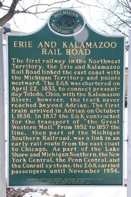
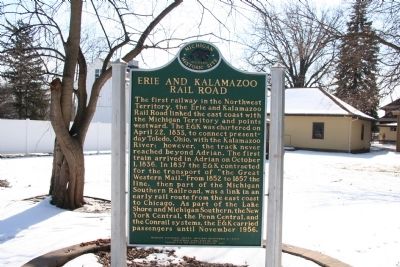
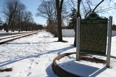
[Front side of Marker]:Erie and Kalamazoo Rail Road
The first railway in the Northwest Territory, the Erie and Kalamazoo Rail Road linked the east coast with the Michigan Territory and points westward. The E&K was chartered on April 22, 1833, to connect present-day Toledo, Ohio, with the Kalamazoo River; however, the track never reached beyond Adrian. The first train arrived in Adrian on October 1, 1836. In 1837 the E&K contracted for the transport of "the Great Western Mail." From 1852 to 1857 the line, then part of the Michigan Southern Railroad, was a link in an early rail route from the east coast to Chicago. As part of the Lake Shore and Michigan Southern, the New York Central, the Penn Central, and the Conrail systems, the E&K carried passengers until November 1956.
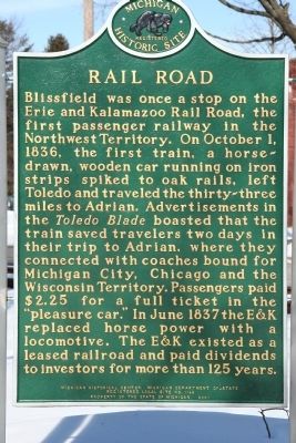
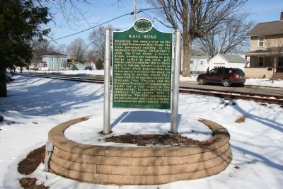
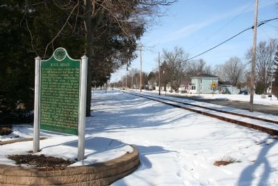
[Reverse side of Marker]:Rail Road
Blissfield was once a stop on the Erie and Kalamazoo Rail Road, the first passenger railway in the Northwest Territory. On October 1, 1836, the first train, a horse-drawn, wooden car running on iron strips spiked to oak rails, left Toledo and traveled the thirty-three miles to Adrian. Advertisements in the Toledo Blade boasted that the train saved travelers two days in their trip to Adrian, where they connected with coaches bound for Michigan City, Chicago, and the Wisconsin Territory. Passengers paid $2.25 for a full ticket in the "pleasure car." In June 1837 the E&K replaced horse power with a locomotive. The E&K existed as a leased railroad and paid dividends to investors for more than 125 years.
Erected 2001 by Michigan Historical Center, Michigan Department of State. (Marker Number 1146B.)
Topics and series. This historical marker is listed in these topic lists: Industry & Commerce • Railroads & Streetcars • Settlements & Settlers. In addition, it is included in the Erie & Kalamazoo Railroad, and the Michigan Historical Commission series lists. A significant historical month for this entry is April 1648.
Location. 41° 50.181′ N, 83° 52.262′ W. Marker is in Blissfield, Michigan, in Lenawee County. Marker is on Beagle Road east of North Main Street, on the left when traveling west. This historical marker is located on the south side of the railroad tracks that run along the south side of Beagle Road, in the back yard of a local resident. Touch for map. Marker is at or near this postal address: 460 Beagle Road, Blissfield MI 49228, United States of America. Touch for directions.
Other nearby markers. At least 8 other markers are within walking distance of this marker. Erie & Kalamazoo Railroad (within shouting distance of this marker); Carpenter House (about 400 feet away, measured in a direct line); Hiram D. Ellis House (about 500 feet away);
F-105G Thunderchief (about 600 feet away); Veterans Memorial (about 600 feet away); First Presbyterian Church (approx. 0.2 miles away); Blissfield Veterans Memorial (approx. 0.4 miles away); G.A.R. Civil War Memorial (approx. half a mile away). Touch for a list and map of all markers in Blissfield.
Credits. This page was last revised on June 16, 2016. It was originally submitted on February 21, 2010, by Dale K. Benington of Toledo, Ohio. This page has been viewed 1,238 times since then and 16 times this year. Photos: 1, 2, 3, 4, 5, 6. submitted on February 21, 2010, by Dale K. Benington of Toledo, Ohio.
