Stateburg in Sumter County, South Carolina — The American South (South Atlantic)
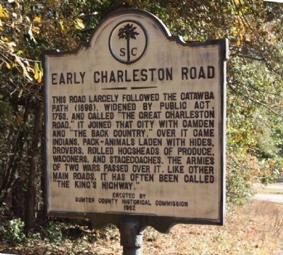
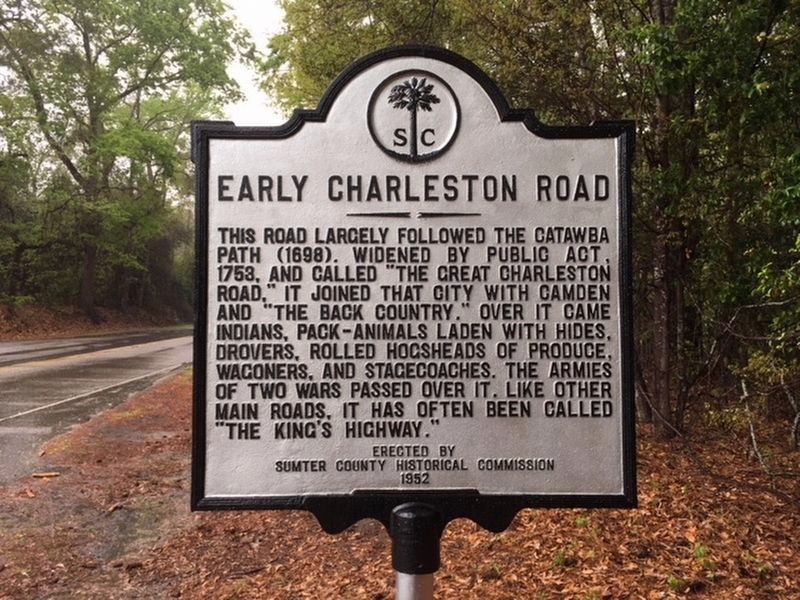
Early Charleston Road
Erected 1952 by the Sumter County Historical Commission. (Marker Number 43-5.)
Topics. This historical marker is listed in these topic lists: Colonial Era • Roads & Vehicles. A significant historical year for this entry is 1753.
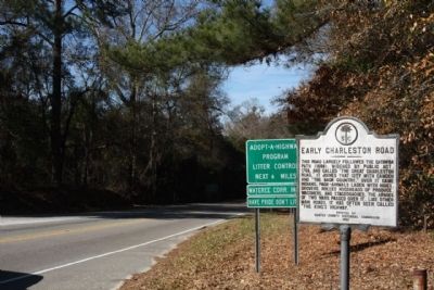
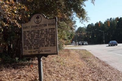
Location. 33° 56.738′ N, 80° 31.437′ W. Marker is in Stateburg, South Carolina, in Sumter County. Marker is at the intersection of North King’s Highway (State Highway 261) and U.S. 76, on the right when traveling south on North King’s Highway. Touch for map. Marker is in this post office area: Sumter SC 29154, United States of America. Touch for directions.
Other nearby markers. At least 8 other markers are within 3 miles of this marker, measured as the crow flies. William Tennent (about 500 feet away, measured in a direct line); Battle of Stateburg (approx. ¼ mile away); Joel Roberts Poinsett (approx. 0.7 miles away); Church of the Holy Cross (approx. 0.7 miles away); Church of the Holy Cross Stateburg / Holy Cross Churchyard (approx. 0.7 miles away); a different marker also named Church of the Holy Cross (approx. 0.7 miles away); Battle of Beech Creek / The Civil War Ends In S.C (approx. 2.1 miles away); High Hills Baptist Church (approx. 2.8 miles away). Touch for a list and map of all markers in Stateburg.
Credits. This page was last revised on April 23, 2018. It was originally submitted on February 22, 2010, by Mike Stroud of Bluffton, South Carolina. This page has been viewed 1,495 times since then and 54 times this year. Photos: 1. submitted on February 22, 2010, by Mike Stroud of Bluffton, South Carolina. 2. submitted on April 23, 2018, by Randy Tucker of Greenville, South Carolina. 3, 4. submitted on February 22, 2010, by Mike Stroud of Bluffton, South Carolina. • Craig Swain was the editor who published this page.


