Lone Star in Calhoun County, South Carolina — The American South (South Atlantic)
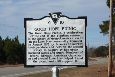
Good Hope Picnic
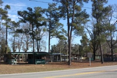
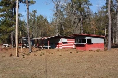
The Good Hope Picnic, a celebration of the end of the planting season, is the oldest African-American event in the Lone Star community. Founded in August 1915 by farmers to market their produce and held on the second Friday in August, it has often included games and music. Members of several African-American churches in and around Lone Star helped found the picnic and still support it.
Erected 2008 by Good Hope Picnic Foundation. (Marker Number 9-10.)
Topics. This historical marker is listed in these topic lists: African Americans • Entertainment • Notable Events. A significant historical year for this entry is 1915.
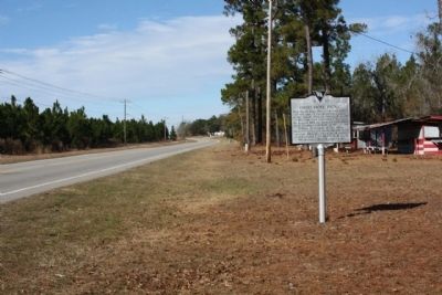
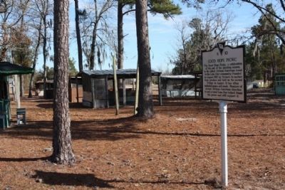
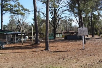
Location. 33° 36.478′ N, 80° 34.803′ W. Marker is in Lone Star, South Carolina, in Calhoun County. Marker is at the intersection of McCord’s Ferry Road (State Highway 267) and Friendly Lane, on the right when traveling north on McCord’s Ferry Road. Touch for map. Marker is in this post office area: Cameron SC 29030, United States of America. Touch for directions.
Other nearby markers. At least 10 other markers are within 6 miles of this marker, measured as the crow flies. Pine Grove Evangelical Lutheran Church (approx. 2.2 miles away); Santee~Cemetery (approx. 3.9 miles away); Trinity Lutheran Church (approx. 5.2 miles away); Snider House (approx. 5.3 miles away); St. Matthew's Lutheran Church (approx. 5.3 miles away); Shiloh A.M.E. Church (approx. 5.6 miles away); Richardson Graves (approx. 5.7 miles away); Halfway Swamp: (approx. 5.7 miles away); Shady Grove Church (approx. 5.7 miles away); Encounter at Halfway Swamp / Site of Original St. Mark's Church (approx. 5.9 miles away).
Credits. This page was last revised on June 16, 2016. It was originally submitted on February 23, 2010, by Mike Stroud of Bluffton, South Carolina. This page has been viewed 3,146 times since then and 79 times this year. Photos: 1, 2, 3, 4, 5, 6. submitted on February 24, 2010, by Mike Stroud of Bluffton, South Carolina. • Bill Pfingsten was the editor who published this page.
