Tombstone in Cochise County, Arizona — The American Mountains (Southwest)
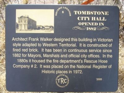
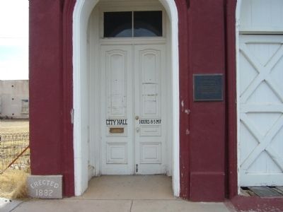
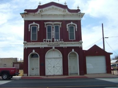
Tombstone City Hall
Opened in 1882
Erected 2005 by Tombstone Restoration Commission.
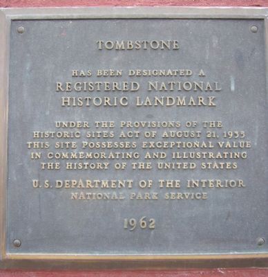
Topics and series. This historical marker is listed in these topic lists: Government & Politics • Notable Buildings • Settlements & Settlers. In addition, it is included in the National Historic Landmarks series list. A significant historical year for this entry is 1882.
Location. 31° 42.826′ N, 110° 4.029′ W. Marker is in Tombstone, Arizona, in Cochise County. Marker is on East Fremont Street (State Highway 80), on the right when traveling east. Marker and City Hall building are located between North 3rd and North 4th Streets. Touch for map. Marker is at or near this postal address: 306 East Fremont Street, Tombstone AZ 85638, United States of America. Touch for directions.
Other nearby markers. At least 8 other markers are within walking distance of this marker. Schieffelin Hall (within shouting distance of this marker); Can Can Restaurant (about 300 feet away, measured in a direct line); Cochise County Bank (about 400 feet away); St. Paul's Episcopal Church (about 400 feet away); Campbell & Hatch Saloon and Billiard Parlor (about 500 feet away); The Grand Hotel (about 500 feet away); Hoptown (about 500 feet away); Rose Tree (about 600 feet away). Touch for a list and map of all markers in Tombstone.
Also see . . . The City of Tombstone.
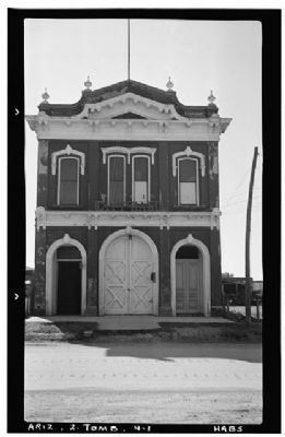
Photographed By Frederick D. Nichols, Photographer, November 1937
5. Tombstone City Hall
Historic American Buildings Survey (Library of Congress)
HABS ARIZ,2-TOMB,4-
Click for more information.
HABS ARIZ,2-TOMB,4-
Click for more information.
Credits. This page was last revised on June 16, 2016. It was originally submitted on February 24, 2010, by Bill Kirchner of Tucson, Arizona. This page has been viewed 1,811 times since then and 46 times this year. Photos: 1, 2, 3, 4. submitted on February 24, 2010, by Bill Kirchner of Tucson, Arizona. 5. submitted on February 25, 2010. • Syd Whittle was the editor who published this page.
