Washington Township near Morrow in Warren County, Ohio — The American Midwest (Great Lakes)
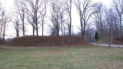
Twin Mounds & Parallel Walls
Inscription.
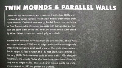
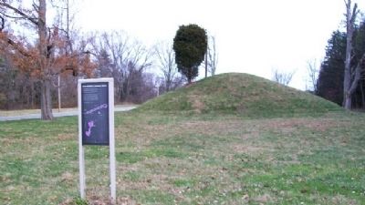
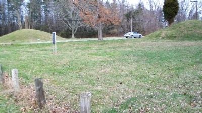
These circular twin mounds were excavated in the late 1800s and contained no human remains. Two shallow ditches extend from these earth mounds. One ditch connects to Randall Run on the north side of Fort Ancient, while the other connects with Cowen Run on the east and south sides of the site. Thus, the entire site is surrounded by either a river, stream and natural gully, or a ditch.
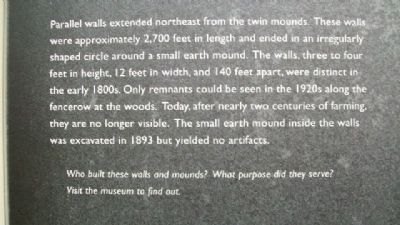
Parallel walls extended northeast from the twin mounds. These walls were approximately 2,700 feet in length and ended in an irregularly shaped circle around a small earth mound. The walls, three to four feet in height, 12 feet in width, and 140 feet apart, were distinct in the early 1800s. Only remnants could be seen in the 1920s along the fencerow at the woods. Today, after nearly two centuries of farming, they are no longer visible. The small earth mound inside the walls was excavated in 1893 but yielded no artifacts.
Who built these walls and mounds? What purpose did they serve? Visit the museum to find out.
Erected by The Ohio Historical Society.
Topics. This historical marker is listed in these topic lists: Man-Made Features • Native Americans. A significant historical year for this entry is 1893.
Location. 39° 24.491′ N, 84° 5.152′ W. Marker is near Morrow, Ohio, in Warren County. It is in Washington Township. Marker is on Ohio Route 350, 0.1 miles east of the Fort Ancient State Memorial entrance, on the right when traveling east. Touch for map. Marker is at or near this postal address: 6123 Ohio Route 350, Oregonia OH 45054, United States of America. Touch for directions.
Other nearby markers. At least 8 other markers are within walking distance of this marker. Interpretive Stations - Trail Guide - Other Points Of Interest (approx. 0.2 miles away); Astronomical Alignments (approx. ¼ mile away); Middle Fort Ditch Construction (approx. 0.4 miles away); Stages of Construction / Crescent Mounds (approx. 0.6 miles away); The Civilian Conservation Corps (approx. 0.7 miles away); Fort Ancient (approx. 0.7 miles away); Changes at Fort Ancient (approx. 0.7 miles away); The Great Gateway (approx. ¾ mile away). Touch for a list and map of all markers in Morrow.
Also see . . . Fort Ancient Earthworks. (Submitted on February 27, 2010, by William Fischer, Jr. of Scranton, Pennsylvania.)
Credits. This page was last revised on February 6, 2023. It was originally submitted on February 27, 2010, by William Fischer, Jr. of Scranton, Pennsylvania. This page has been viewed 1,042 times since then and 27 times this year. Photos: 1, 2, 3, 4, 5. submitted on February 27, 2010, by William Fischer, Jr. of Scranton, Pennsylvania.
Editor’s want-list for this marker. Full close photo of marker. • Can you help?
