Marker Logo HMdb.org THE HISTORICAL
MARKER DATABASE
“Bite-Size Bits of Local, National, and Global History”
Blountsville in Blount County, Alabama — The American South (East South Central)
 

Blountsville


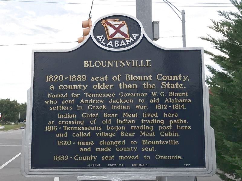
Blountsville Marker (Replacement) image. Click for full size.
Photographed By Duane and Tracy Marsteller, September 12, 2020
1. Blountsville Marker (Replacement)
Inscription.
1820-1889 seat of Blount County, a county older than the State.

Named for Tennessee Governor W. G. Blount who sent Andrew Jackson to aid Alabama settlers in Creek Indian War, 1812-1814.

Indian Chief Bear Meat lived here at crossing of old Indian trading paths. 1816 - Tennesseans began trading post here and called village Bear Meat Cabin.

1820 - Name changed to Blountsville and made county seat.

1889 - County seat moved to Oneonta.
 
Erected 1956 by Alabama Historical Association.
 
Topics and series. This historical marker is listed in these topic lists: Government & PoliticsNative AmericansSettlements & SettlersWars, US Indian. In addition, it is included in the Alabama Historical Association, and the Former U.S. Presidents: #07 Andrew Jackson series lists. A significant historical year for this entry is 1816.
 
Location. 34° 4.89′ N, 86° 35.46′ W. Marker is in Blountsville, Alabama, in Blount County. Marker is at the intersection of Main Street (U.S. 231) and Lee Street West, on the left when traveling north on Main Street. Located in a small park at the corner of Main Street and Lee Street West. Touch for map. Marker is in this post office area: Blountsville AL 35031, United States of America. Touch for directions.
 
Other nearby markers. At least 8 other markers are

Paid Advertisement
Click on the ad for more information.
Please report objectionable advertising to the Editor.
Click or scan to see
this page online
within 7 miles of this marker, measured as the crow flies. In Honor of Those Who Served (a few steps from this marker); Blountsville Court Square Timeline (a few steps from this marker); Ebenezer Hearn 1794-1862 (about 600 feet away, measured in a direct line); Federal Raid (approx. 1˝ miles away); Battle Royal (approx. 5.7 miles away); Exploit of Murphree Sisters (approx. 5.7 miles away); First Baptist Church Holly Pond (approx. 6.6 miles away); The History of Holly Pond School (approx. 6.8 miles away). Touch for a list and map of all markers in Blountsville.
 
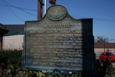
Blountsville Marker image. Click for full size.
Photographed By Tim Carr, November 7, 2009
2. Blountsville Marker
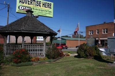
Blountsville Marker In Small Park image. Click for full size.
Photographed By Tim Carr, November 7, 2009
3. Blountsville Marker In Small Park
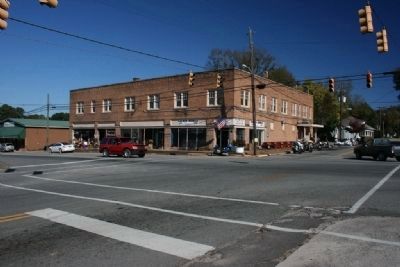
Downtown Blountsville, Alabama image. Click for full size.
Photographed By Tim Carr, November 7, 2009
4. Downtown Blountsville, Alabama
 
 
Credits. This page was last revised on October 1, 2020. It was originally submitted on November 10, 2009, by Timothy Carr of Birmingham, Alabama. This page has been viewed 2,656 times since then and 62 times this year. Last updated on September 19, 2020, by Bradley Owen of Morgantown, West Virginia. Photos:   1. submitted on September 18, 2020, by Duane and Tracy Marsteller of Murfreesboro, Tennessee.   2, 3, 4. submitted on November 10, 2009, by Timothy Carr of Birmingham, Alabama. • Mark Hilton was the editor who published this page.
Share this page.  
Share on Tumblr
m=156445

CeraNet Cloud Computing sponsors the Historical Marker Database.
This website earns income from purchases you make after using our links to Amazon.com. We appreciate your support.
Paid Advertisement
Apr. 19, 2024