Near Fort Thomas in Graham County, Arizona — The American Mountains (Southwest)
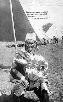
Geronimo
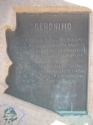
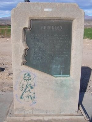
Named for the rebellious medicine man who led the Chiricahua Apaches on their last raids, to surrender, and then into exile in Florida and Oklahoma. Their descendants lived in Eastern Arizona again. This was also the site of original Camp Thomas, established in 1876 to keep Geronimo's tribesmen on their farmlands along the Gila River.
Erected 1962 by Arizona Development Board.
Topics. This historical marker is listed in these topic lists: Native Americans • Science & Medicine • Wars, US Indian. A significant historical year for this entry is 1876.
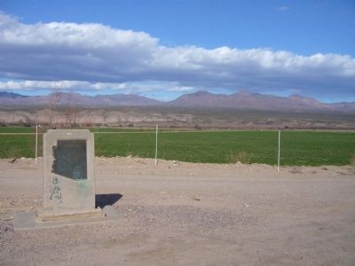
Location. 33° 4.362′ N, 110° 1.293′ W. Marker is near Fort Thomas, Arizona, in Graham County. Marker is on U.S. 70 at milepost 302, on the left when traveling east. Touch for map. Marker is in this post office area: Fort Thomas AZ 85536, United States of America. Touch for directions.
Other nearby markers. At least 1 other marker is within 4 miles of this marker, measured as the crow flies. Melvin Jones International Memorial (approx. 4 miles away).
Also see . . .
1. Geronimo - Goyathlay ("one who yawns"). Indigenous Peoples Literature website biography of Geronimo (Submitted on March 2, 2010.)
2. Apache Indian Resistance - Geronimo. This YouTube post tells the history of the Apache Resistance in the Southwest. (Submitted on March 2, 2010.)
3. General Nelson Miles and the Expedition to Capture Geronimo. Historynet website entry (Submitted on April 11, 2021, by Larry Gertner of New York, New York.)
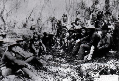
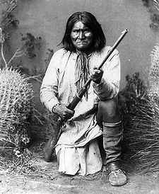
Photographed By C.S. (Camillus Sidney) Fly, circa March 1, 1886
6. Council between Gen. Crook and Geronimo, Cañon de los Embudos, Sonora, Mexico, March 1886.
C.S. Fly, Tombstone, AZ, was the photographic chronicler of Southeast Arizona in the 1880's. Photo courtesy of the Southwest Crossroads web page: http://www.southwestcrossroads.org/record.php?num=599
This is one of the best known photos of the last surrender of Geronimo and his remaining ~40 followers in March, 1886. Another in the series shows these last Apache holdouts gathered in front of the train they are about to board, destination Florida.
Click for more information.
This is one of the best known photos of the last surrender of Geronimo and his remaining ~40 followers in March, 1886. Another in the series shows these last Apache holdouts gathered in front of the train they are about to board, destination Florida.
Click for more information.
Credits. This page was last revised on April 11, 2021. It was originally submitted on February 28, 2010, by Bill Kirchner of Tucson, Arizona. This page has been viewed 2,652 times since then and 94 times this year. Photos: 1, 2, 3. submitted on February 28, 2010, by Bill Kirchner of Tucson, Arizona. 4, 5. submitted on March 2, 2010. 6. submitted on March 25, 2010, by Chris English of Phoenix, Arizona. • Syd Whittle was the editor who published this page.
