Goose Creek in Berkeley County, South Carolina — The American South (South Atlantic)
Howe Hall Plantation / Howe Hall Elementary School
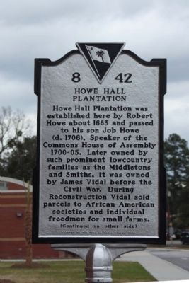
Howe Hall Plantation
Howe Hall Plantation was established here by Robert Howe about 1683 and passed to his son Job Howe (d. 1706), Speaker of the Commons House of Assembly 1700-05. Later owned by such prominent lowcountry families as the Middletons and Smiths, it was owned by James Vidal before the Civil War. During Reconstruction Vidal sold parcels to African American societies and individual freedmen for small farms.
(Reverse text)
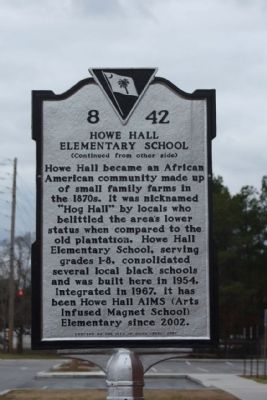
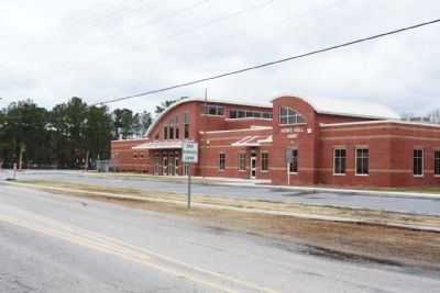
Howe Hall Elementary School
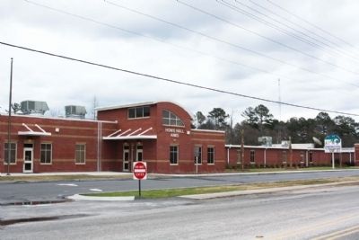
Howe Hall became an African American community made up of small family farms in the 1870s. It was nicknamed “Hog Hall” by locals who belittled the area’s lower status when compared to the old plantation. Howe Hall Elementary School, serving grades 1-8, consolidated several local black schools and was built here in 1954. Integrated in 1967, it has been Howe Hall AIMS (Arts Infused Magnet School) Elementary since 2002.
Erected 2007 by The City of Goose Creek. (Marker Number 8-42.)
Topics. This historical marker is listed in these topic lists: African Americans • Colonial Era • Education • Notable Places • Settlements & Settlers. A significant historical year for this entry is 1683.
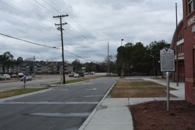
Location. 32° 58.774′ N, 80° 1.686′ W. Marker is in Goose Creek, South Carolina, in Berkeley County. Marker is on Howe Hall Road near Red Bank Road, on the left when traveling east. Touch for map. Marker is in this post office area: Goose Creek SC 29445, United States of America. Touch for directions.
Other nearby markers. At least 8 other markers are within 2 miles of this marker, measured as the crow flies. Goose Creek Bridge (approx. 0.3 miles away); Goose Creek Church (approx. 0.3 miles away); St. James, Goose Creek (approx. 0.4 miles away); The Oaks (approx. half a mile away); The Yamasee War At Goose Creek, 1715 (approx. 0.6 miles away); Boochawee Hall (approx. 1.1 miles away); Otranto Plantation (approx. 1.3 miles away); Goose Creek / City of Goose Creek (approx. 1˝ miles away). Touch for a list and map of all markers in Goose Creek.
Credits. This page was last revised on June 16, 2016. It was originally submitted on March 1, 2010, by Mike Stroud of Bluffton, South Carolina. This page has been viewed 2,223 times since then and 186 times this year. Photos: 1, 2, 3, 4, 5. submitted on March 1, 2010, by Mike Stroud of Bluffton, South Carolina. • Bill Pfingsten was the editor who published this page.
