Rock Hill in York County, South Carolina — The American South (South Atlantic)
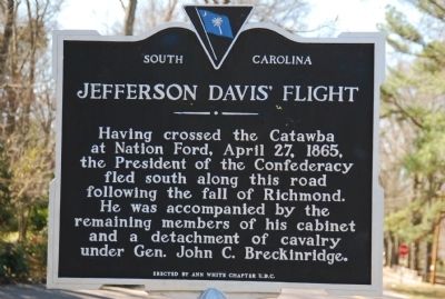
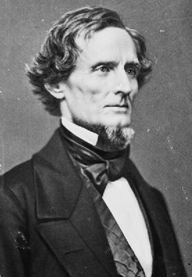
Jefferson Davis' Flight
Erected by Ann White Chapter, United Daughters of the Confederacy. (Marker Number 46-5.)
Topics and series. This historical marker is listed in this topic list: War, US Civil. In addition, it is included in the United Daughters of the Confederacy series list. A significant historical date for this entry is April 27, 1865.
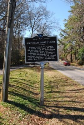
Location. 34° 56.766′ N, 81° 1.236′ W. Marker is in Rock Hill, South Carolina, in York County. Marker is on Eden Terrace, 0.1 miles east of Myrtle Drive, on the left when traveling west. Touch for map. Marker is in this post office area: Rock Hill SC 29730, United States of America. Touch for directions.
Other nearby markers. At least 8 other markers are within 2 miles of this marker, measured as the crow flies. McCorkle-Fewell-Long House / Oakland (approx. 0.6 miles away); Columbia Seminary Chapel (approx. 0.6 miles away); Armstrong-Mauldin House (approx. 0.7 miles away); President's House (approx. ¾ mile away); Oakland Avenue Baptist Church (approx. 0.8 miles away); First Home of Winthrop College (approx. 0.8 miles away); James Milton Cherry House (approx. one mile away); Rock Hill Printing and Finishing Company / Rock Hill Buggy Company and Anderson Motor Company (approx. 1.2 miles away). Touch for a list and map of all markers in Rock Hill.
Credits. This page was last revised on June 16, 2016. It was originally submitted on March 6, 2010, by Michael Sean Nix of Spartanburg, South Carolina. This page has been viewed 1,518 times since then and 42 times this year. Photos: 1, 2, 3. submitted on March 6, 2010, by Michael Sean Nix of Spartanburg, South Carolina. • Craig Swain was the editor who published this page.


