Marker Logo HMdb.org THE HISTORICAL
MARKER DATABASE
“Bite-Size Bits of Local, National, and Global History”
Near Blountsville in Blount County, Alabama — The American South (East South Central)
 

Battle Royal

May 1, 1863


Battle Royal Marker image. Click for full size.
Photographed By Tim Carr, February 27, 2010
1. Battle Royal Marker
Inscription. Nathan Bedford Forrest attacked Col. Streight’s column as it crossed Locust’s swift waters, causing the Federals to make tremendous exertions to complete the movement, contributing thereby to Streight’s eventual surrender of his entire command to Forrest some forty hours later and seventy-five miles distant from Battle Royal.
 
Erected 1963 by Alabama Historical Association.
 
Topics and series. This historical marker is listed in this topic list: War, US Civil. In addition, it is included in the Alabama Historical Association series list.
 
Location. 34° 4.052′ N, 86° 29.581′ W. Marker is near Blountsville, Alabama, in Blount County. Marker is at the intersection of Local Road 26 and Dunn Lane, on the right when traveling east on Local Road 26. Touch for map. Marker is in this post office area: Blountsville AL 35031, United States of America. Touch for directions.
 
Other nearby markers. At least 8 other markers are within 6 miles of this marker, measured as the crow flies. Exploit of Murphree Sisters (here, next to this marker); Town of Susan Moore
Paid Advertisement
Click on the ad for more information.
Please report objectionable advertising to the Editor.
Click or scan to see
this page online
(approx. 4.3 miles away); Bailey School (approx. 5.1 miles away); Federal Raid (approx. 5.2 miles away); Ebenezer Hearn 1794-1862 (approx. 5.6 miles away); Blountsville (approx. 5.7 miles away); In Honor of Those Who Served (approx. 5.7 miles away); Blountsville Court Square Timeline (approx. 5.7 miles away). Touch for a list and map of all markers in Blountsville.
 
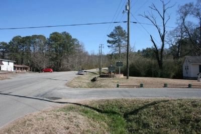
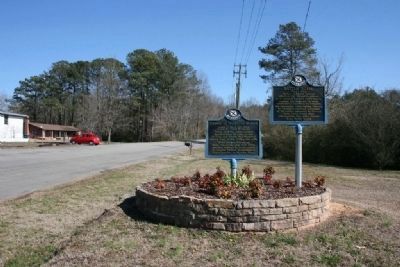
Battle Royal & Exploit of Murphree Sisters Markers image. Click for full size.
Photographed By Tim Carr, February 27, 2010
2. Battle Royal & Exploit of Murphree Sisters Markers
Battle Royal & Exploit of Murphree Sisters Markers at Dunn Lane & County Rd 26 image. Click for full size.
Photographed By Tim Carr, February 27, 2010
3. Battle Royal & Exploit of Murphree Sisters Markers at Dunn Lane & County Rd 26
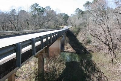
Locust Fork of the Warrior River at Royal, Alabama image. Click for full size.
Photographed By Tim Carr, February 27, 2010
4. Locust Fork of the Warrior River at Royal, Alabama
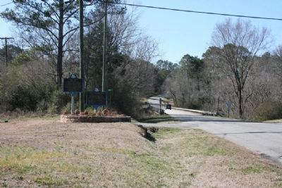
Battle Royal & Exploit of Murphree Sisters Markers near the Locust Fork Bridge image. Click for full size.
Photographed By Tim Carr, February 27, 2010
5. Battle Royal & Exploit of Murphree Sisters Markers near the Locust Fork Bridge
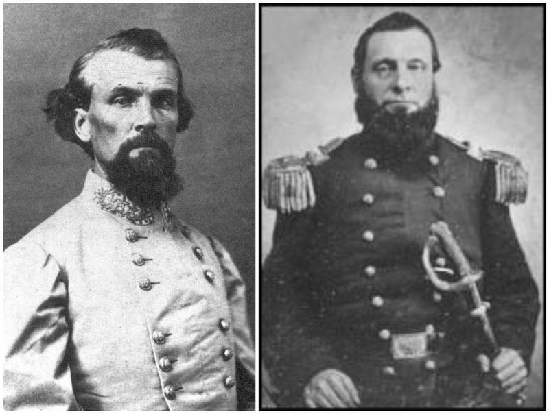
General Nathan Bedford Forrest (C.S.A.) / Colonel Abel Delos Streight (U.S.A.) image. Click for full size.
Public Domain
6. General Nathan Bedford Forrest (C.S.A.) / Colonel Abel Delos Streight (U.S.A.)
 
 
Credits. This page was last revised on August 27, 2020. It was originally submitted on March 7, 2010, by Timothy Carr of Birmingham, Alabama. This page has been viewed 3,751 times since then and 119 times this year. Photos:   1, 2, 3, 4, 5. submitted on March 7, 2010, by Timothy Carr of Birmingham, Alabama.   6. submitted on March 3, 2017, by Mark Hilton of Montgomery, Alabama. • Craig Swain was the editor who published this page.

Share this page.  
Share on Tumblr
m=28320

CeraNet Cloud Computing sponsors the Historical Marker Database.
This website earns income from purchases you make after using our links to Amazon.com. We appreciate your support.
Paid Advertisement
Apr. 23, 2024