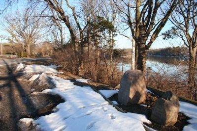
Defiance in Defiance County, Ohio — The American Midwest (Great Lakes)
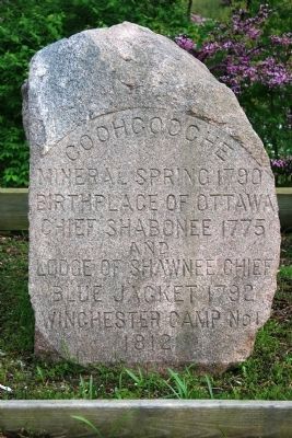
Coohcooche
Inscription.
[First Marker]
Mineral Spring 1790
Birthplace of Ottawa
Chief Shabonee 1775
and
Lodge of Shawnee Chief
Blue Jacket 1792
Winchester Camp No 1
1812
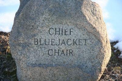
Blue Jacket
Chair
Topics. This historical marker is listed in these topic lists: Forts and Castles • Native Americans • War of 1812 • Wars, US Indian. A significant historical year for this entry is 1790.
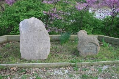
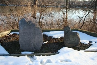
Location. 41° 17.384′ N, 84° 20.804′ W. Marker is in Defiance, Ohio, in Defiance County. Marker is on East River Drive (Ohio Route 424) west of Maywinn Road, on the right when traveling east. This historic marker is located on the eastern side of Defiance, Ohio, along old state route 424 (River Drive), on the river side (south) of the street. Touch for map. Marker is at or near this postal address: 1010 East River Drive, Defiance OH 43512, United States of America. Touch for directions.
Other nearby markers. At least 8 other markers are within walking distance of this marker. Winchester's Camp #2 / Preston Island (a few steps from this marker); Shawnee Glen (about 600 feet away, measured in a direct line); Johnny Appleseed (approx. 0.3 miles away); Historic Defiance (approx. 0.4 miles away); Chief Pontiac (approx. 0.4 miles away); Flood Poles (approx. 0.4 miles away); Buckeye Trail (approx. half a mile away); Pontiac Birthplace (approx. half a mile away). Touch for a list and map of all markers in Defiance.
More about this marker. For those who are interested in the War of 1812, it is noteworthy that this was the site of Winchester's Camp No. 2.
Credits. This page was last revised on June 16, 2016. It was originally submitted on March 8, 2010, by Dale K. Benington of Toledo, Ohio. This page has been viewed 1,193 times since then and 29 times this year. Photos: 1, 2, 3, 4, 5. submitted on March 8, 2010, by Dale K. Benington of Toledo, Ohio.
