Falls Church, Virginia — The American South (Mid-Atlantic)
Jefferson Institute
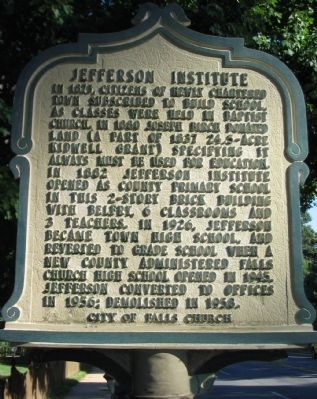
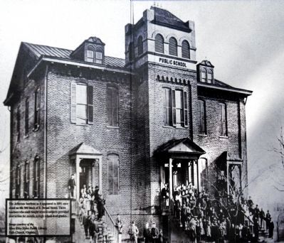
In 1875, citizens of newly chartered town subscribed to build school, as classes were held in Baptist Church, in 1880 Joseph Birch donated land (a part of 1837 24.5-acre Kidwell grant) specifying it always must be used for education. In 1882 Jefferson Institute opened as county primary school in this 2-story brick building with belfry, 6 classrooms and 3 teachers. In 1926, Jefferson became town high school, and reverted to grade school when a new county administered Falls Church High School opened in 1945. Jefferson converted to offices in 1956; Demolished in 1958.
Erected by City of Falls Church.
Topics and series. This historical marker is listed in this topic list: Education. In addition, it is included in the Virginia, City of Falls Church series list. A significant historical year for this entry is 1875.
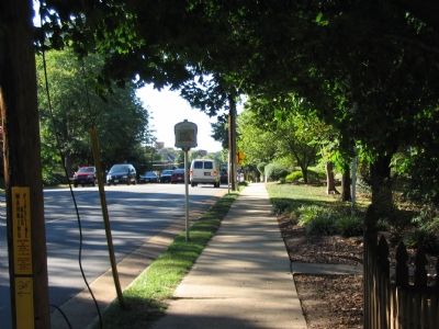
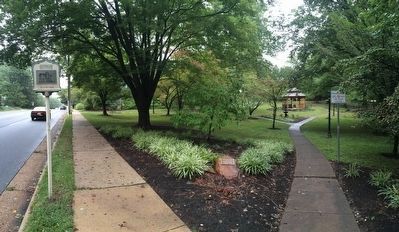
Location. 38° 52.776′ N, 77° 10.009′ W. Marker is in Falls Church, Virginia. Marker is on East Broad Street (State Highway 7), on the right when traveling west. Located at the entrance to the Don Frady City Park. Touch for map. Marker is in this post office area: Falls Church VA 22046, United States of America. Touch for directions.
Other nearby markers. At least 8 other markers are within walking distance of this marker. The Birch House (a few steps from this marker); Turnpike Tollgate (within shouting distance of this marker); Presbyterian Church (about 500 feet away, measured in a direct line); Wren’s Tavern (about 600 feet away); Falls Church High School (FCHS) Site (approx. 0.2 miles away); Home Hill (approx. 0.2 miles away); Columbia Baptist Church (approx. 0.2 miles away); Harriet and George Brice (approx. ¼ mile away). Touch for a list and map of all markers in Falls Church.
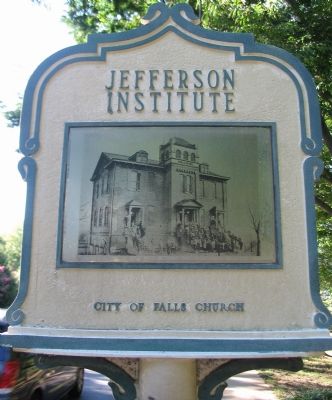
More about this marker. The back of the marker displays a historical photograph of Jefferson Institute.
Photographed By Allen C. Browne, September 28, 2014
4. Jefferson Institute
The Jefferson Institute as it appeared in 1891 once stood on the 300 block of E. Broad Street. Three teachers who each taught several subjects provided instruction for middle to high school level grades. Image courtesy of Mary Riley Styles Public Library, Falls Church Virginia.Close-up of photo in the window of the CVS pharmacy on Broad Street.
Credits. This page was last revised on November 5, 2018. It was originally submitted on October 9, 2007, by Craig Swain of Leesburg, Virginia. This page has been viewed 2,484 times since then and 67 times this year. Photos: 1, 2, 3. submitted on October 9, 2007, by Craig Swain of Leesburg, Virginia. 4. submitted on October 4, 2014, by Allen C. Browne of Silver Spring, Maryland. 5, 6. submitted on October 5, 2015, by J. Makali Bruton of Accra, Ghana.
